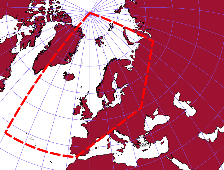
I am currently trying to calculate fish stock density for various stocks in the NE Atlantic. My habitat areas are too large to use UTM and I was wondering how I would find the best geo-coordinate system to use? My area covers the entire FAO fishing area 27. Any suggestions would be really helpful.
I have changed the meridian as suggested see screenshot. Does this mean that I simply need to change the '10' figure in order to define any new longitude as the central meridian? In other words, currently the central meridian is '10' but if i wanted it to be 15, I simply have to edit this in?
Lambert equal area projection
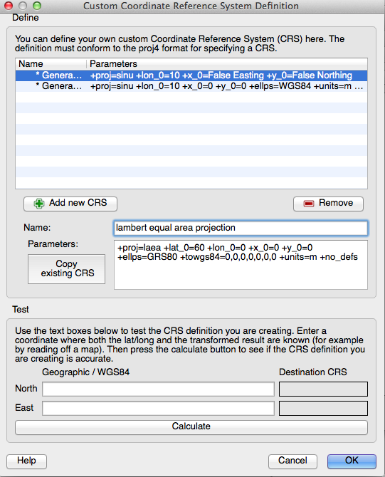
Saving new CRS projection
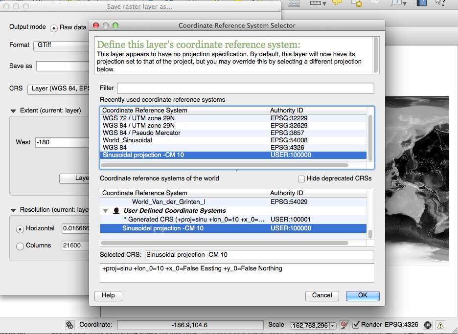
Meta Data tab of warped tiff:
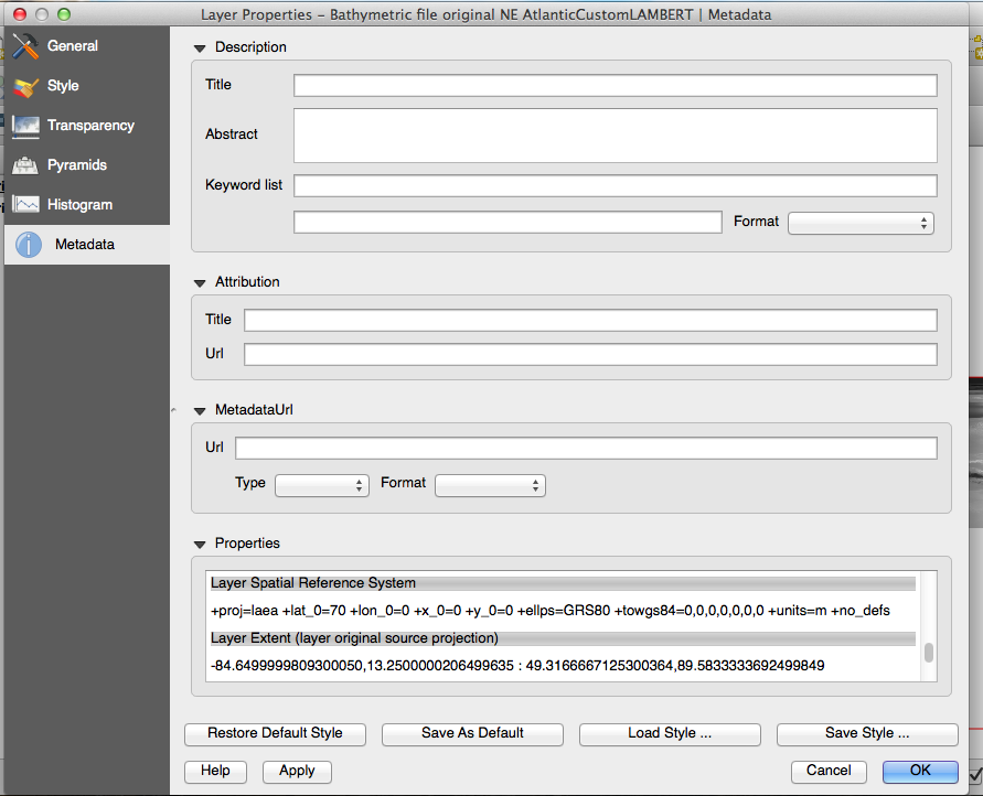
Raster --> Projections --> Warp
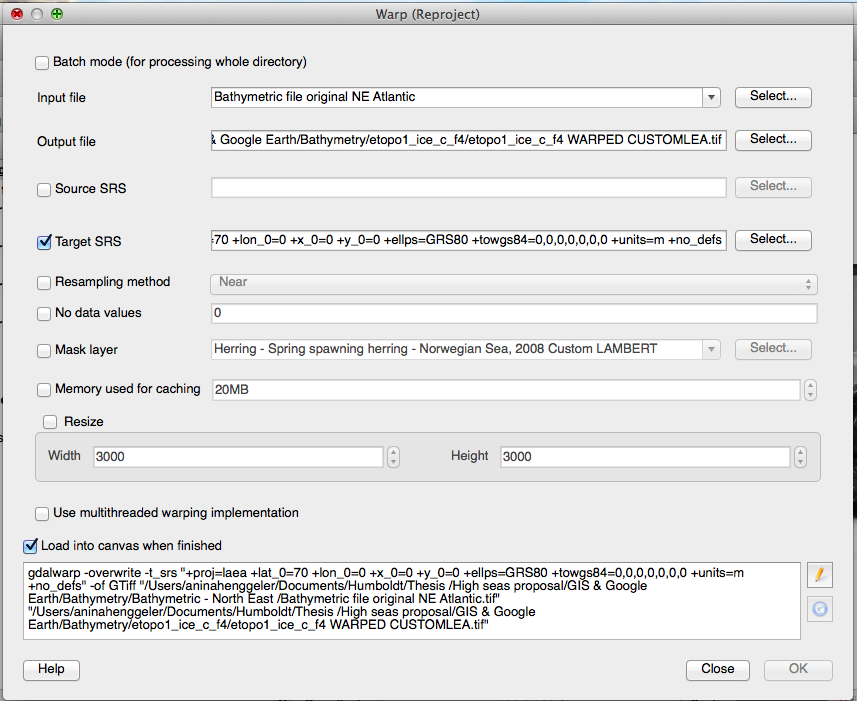

Save As ...to a new name and the custom CRS. Do not useSet CRS for layer, it will not reproject the coordinates.Project -> Project Properties, CRS tab; withOn-the-fly-reprojectionenabled.