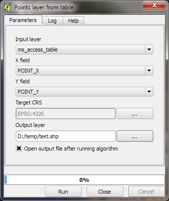
I have a co-worker who manages a large MS Access database that contains X & Y fields for various locations he tracks. We have previously exported the data to CSV and used the QGIS Delimited Text Plugin to plot the locations.
We would now like to be plot this data directly in QGIS by connecting to the MS Access db via an ODBC connection (as opposed to export to CSV).
- Can QGIS consume the data from the ODBC connection to plot the X-Y locations?
- Can it be "live linked" to the ODBC connection so that when a project is re-opened, the layer "replots" all old and newly added locations dynamically (as opposed to exporting to shapefile, which would create a snapshot in time)?
- Can you create tabular ODBC connections that can be joined to spatial tables within QGIS?
You can do all of this in ArcGIS ("Add XY Data" tool), so it would be great if this capability existed in QGIS. I just cannot find anywhere that mentions its existence.
I am not planning to move to a spatial database. As a GIS person myself, yes I know that it makes sense to move to a spatial database, and yes I have used PostGIS to manage this kind of data. But these are not options right now. The user is not a GIS person nor wants to be, and he manages his own database in MS Access and that will not change. I am and am pulling him kicking and screaming into the GIS world and want to make it easy as possible. He can live with exporting to CSV, I was just hoping there is a better solution USING ODBC FOR MS ACCESS and displaying the XY data in QGIS.

