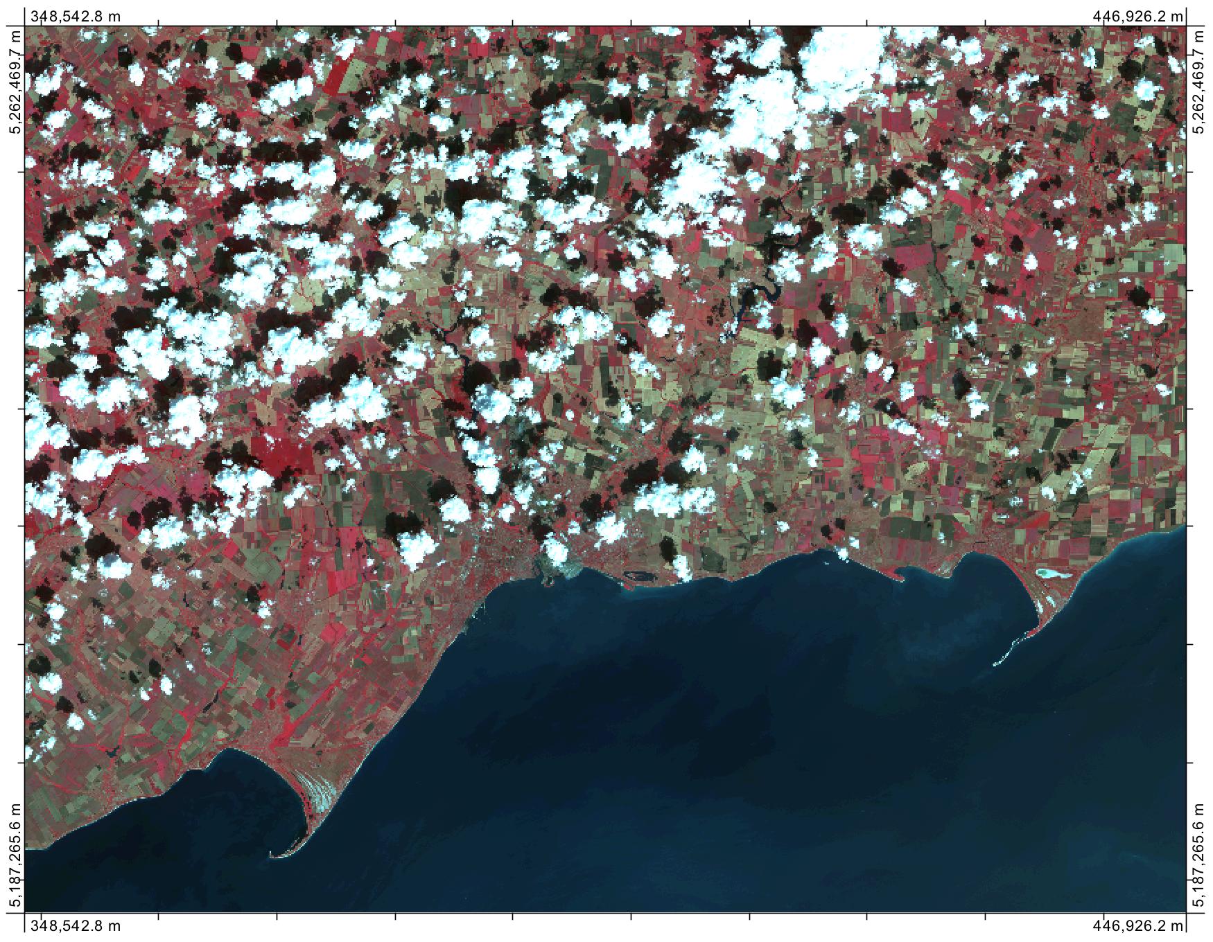
I have bands 2, 3, 4, and 5 map.
How can I use these to make a color map in ArcGIS 10.1 for Desktop?
Can you give me steps?
Also I want to make attribute table of colormap.
How this can be done?
I have bands 2, 3, 4, and 5 map.
How can I use these to make a color map in ArcGIS 10.1 for Desktop?
Can you give me steps?
Also I want to make attribute table of colormap.
How this can be done?
When you have multiple bands of imagery and you want to create a colour image, you need to create a red-green-blue (RGB) colour composite. The steps for doing this in ArcGIS can be found here. It helps if you know which part of the spectrum each of your bands are sampled from, which will depend on the satellite/sensor used to collect the imagery. If you want to create a natural-colour composite, you need to ensure that the red, green, and blue bands are added to the correct components of the composite, or else the resulting image will look quite natural. A false-colour infrared composite (see example below) can be created when you substitute the near-infrared band into the red component, the red into the green, and the green into the blue. You can derive all sorts of interesting information when you create this type of 'unnatural composite' using different band combinations. As for the attribute table, raster images don't generally have associated attribute tables. That's something that is more commonly associated with the vector data model (there are a few exceptions to this of course).
