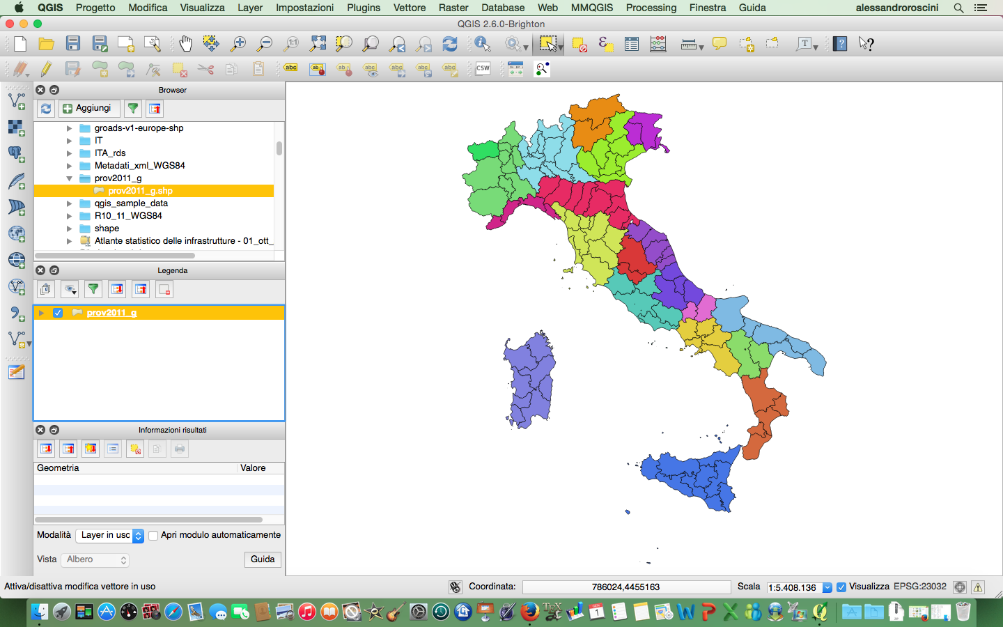
I am using QGIS 2.6.0-Brighton and I am trying to add a custom field to my layer made from a shapefile of Italian provinces; everything seems fine when I create a categorized views using region codes, something like this:

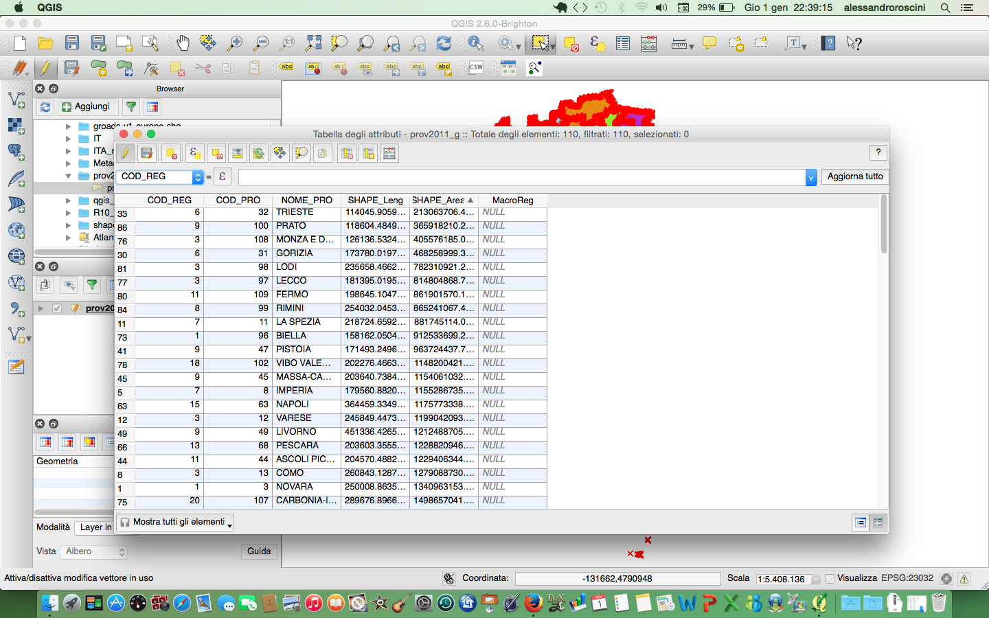
then when I try to add a custom field to the associated table in order to create a custom aggregation (like the Macro Region shown on this picture)

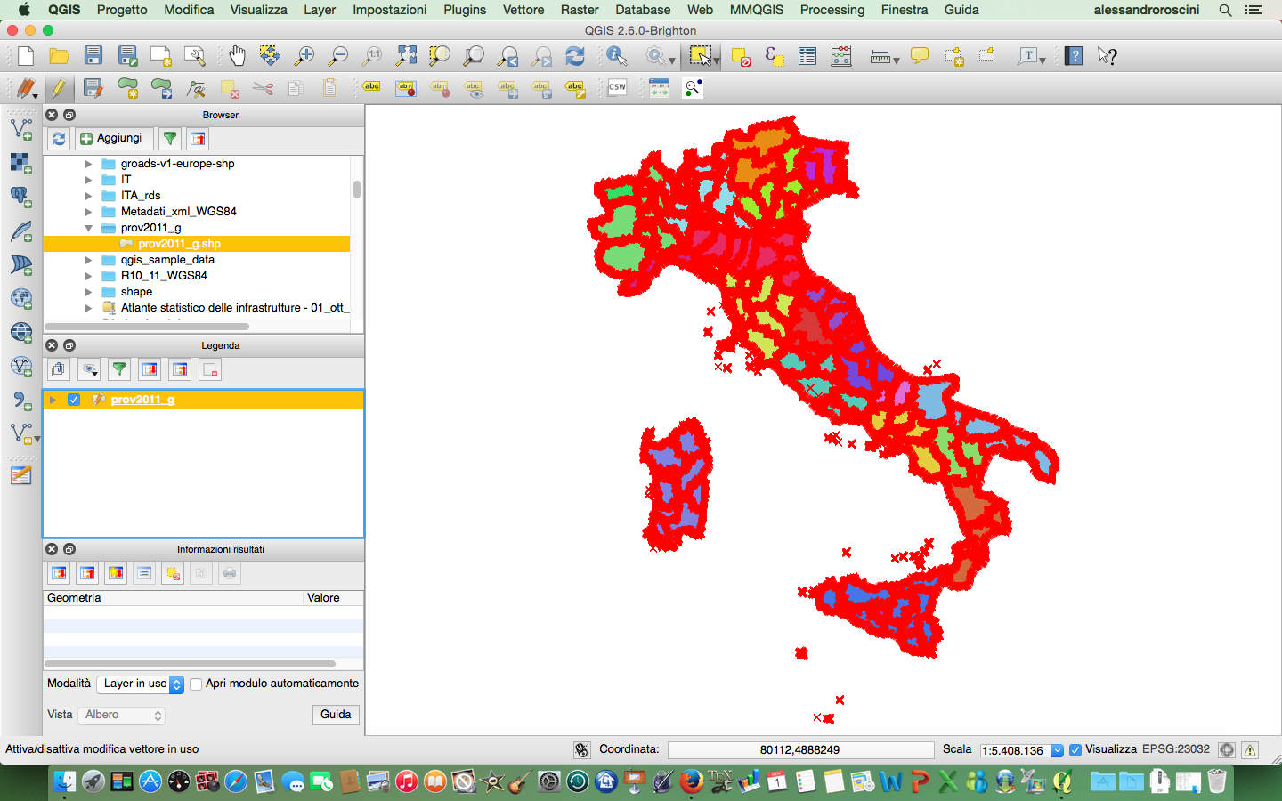
when I go back to the map everything seems to be screwed up, and this is the result I am getting (e.g. islands look like little red crosses, thick polygon borders):

Am I doing something wrong or is it a bug?
