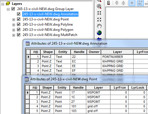
You have to do some work in AutoCAD before you will be able to successfully import. I don't think I've ever come across a drawing that imported exactly as expected. You need to understand the drawing itself in its native format, what layers are visible, which are frozen, if you have blocks, linked files, how complex are the blocks, where are the annotations place and in what format. Converting simple lines from dwg to ArcGIS is fairly straight forward but converting more complex drawings is usually a slow and tedious manual process requiring many steps.
IMHO, the only way you can seamlessly convert a drawing into ArcGIS is if you built the actual drawing itself with that in mind; setting up layers, colors, hidden object, lines and Annotations in such a way that they will seamlessly export to ArcGIS.
You will likely not be able to convert any layout (paper space) with it's own annotations. The annotations were probably added to a specific layout at a specific scale - they are not drawn in the model space but rather on the layout but. This is probably why you are not seeing annotations in ArcGIS. Another reason could be that the draftsperson used the much loved legacy .SHX fonts in their annotations, although those should come across as polylines if the model space was annotated.
In summary I would recommend that you do the following in autocad prior to import:
- switch drawing to model space
- ensure annotations are placed in model space, not paper space. Use true fonts, NOT .SHX fonts to place annotations in model space, otherwise annotations will convert as lines.
Not sure about dimensions - you may want to place all dimensions on one layer and export separately, then handle separately in ArcGIS. Dimension annotation will probably import as annotation if a regular font was used but dimension line will import as line (not 100% sure). In any case, having all dimensions on one layer in Autocad will simplify things as you will be able to Query for Layer = "Dimensions" in ArcGIS.
ensure layers are correct and line work is
placed onto correct layers and layers properly named
- Ensure no layers are frozen and invisible - PURGE ALL that is not needed Ens
- remove all fills (these will show as polygons in ArcGIS)
- ensure blocks are exploded and a part of your drawing
Lastly, consider exporting from AutoCAD to Shapefile (Map 3D) rather that importing to ArcGIS, this way you can select exactly what you want by object or layer and export to Shapefile individually.


