0

I have a CAD drawing (Both DWG and DXF formats) which looks like below when it's been opened in AutoCad.

As you can see there are annotations and what not. These are features in which I'd like to extract in a GIS setting enter image description here
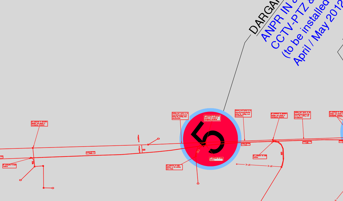
To do this, I opened the CAD drawing in ArcGIS Pro and used the CAD TO GEODATABASE to convert the drawing to a geodatabase feature dataset,

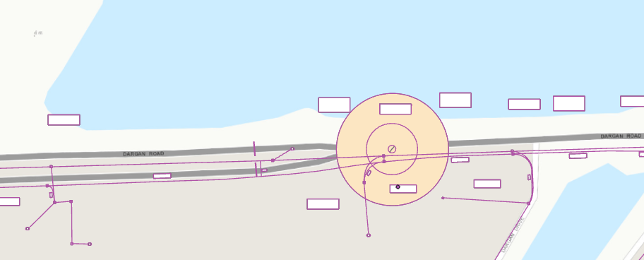
It has turned out like below:

Is there any way to replicate the exact CAD drawing? The feature dataset below will require a lot of work to get the desire finished output

enter image description here

Another example of what I mean:

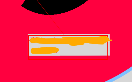
This text box clearly contains text (I have blocked it out for confidentiality) as per the original CAD drawing

enter image description here

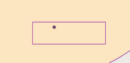
However, the ArcGIS Pro version shows the outline of text box and a point to represent the text. However, when I click the point it doesn't actually contain what was in the text box. It just says text and the layer name

enter image description here

2
  • Did you try to just add the dwg to the map? You won't get individualized layers you could edit but you could get the dwg as a kind of basemap. If it was georeferenced you should see it show in the proper place. If it wasn't you could georeference it. support.esri.com/en/technical-article/000012808
    – John
    Commented Jun 22, 2022 at 15:21
  • Yeah I've tried adding the dwg to the map and essentially get the same looking output with no text Commented Jun 22, 2022 at 15:32

1 Answer 1

0

Rather than converting the entire DWG at once to a geodatabase feature I would recommend, converting just the layer, or features selected within a layer that you need at a time. You can export that to a new geodatabase that will be easier to work from - it will appear the same, just in a new color - but you can change it back to how it appears in the DWG by "importing symbology" from another laying - being the original DWG file.

As far as getting the text to appear, it most likely exists within a field of that new point feature that was created. You can simply change its symbology so as not to appear and create a label of that field to appear in its place.

Hope this helps

Your Answer

By clicking “Post Your Answer”, you agree to our terms of service and acknowledge you have read our privacy policy.

Not the answer you're looking for? Browse other questions tagged or ask your own question.