2

I have several paper maps with dots that I need to convert to vector points. I was hoping to get some suggestions on how to accomplish this without recreating each and every point by hand. I know the basic workflow will look something like this:

  1. Scan paper maps.
  2. Use QGIS Georeferencer plugin to georeference maps.
  3. Run some kind of analysis to identify dots and convert to vector points.

I'm fine on 1-2, but a little stuck on 3. I've provided a sample crop of one of the maps below.
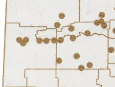
Map Crop

2

2 Answers 2

4

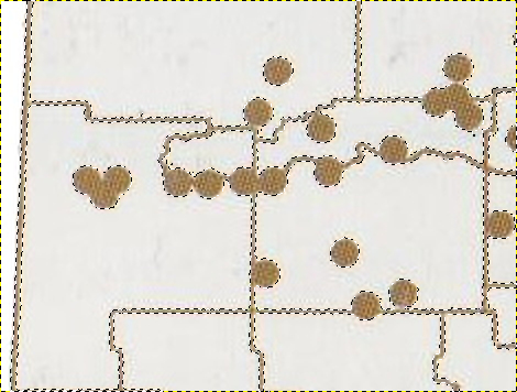
You can clean up the scan in Gimp first and make processing a lot easier: Use the 'select by colour' tool and select the map background, adjusting the threshold to give a nice clean selection. Invert the selection, so the lines and points are now selected.

enter image description here

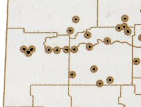
Now 'shrink' the selection down Select > Shrink... by enough pixels so that just you points remain, 'grow' the selection a tiny bit and fill the selection with a solid colour. This stage may take a bit of playing around with shrink and grow values. Undo and try again if needed.

enter image description here

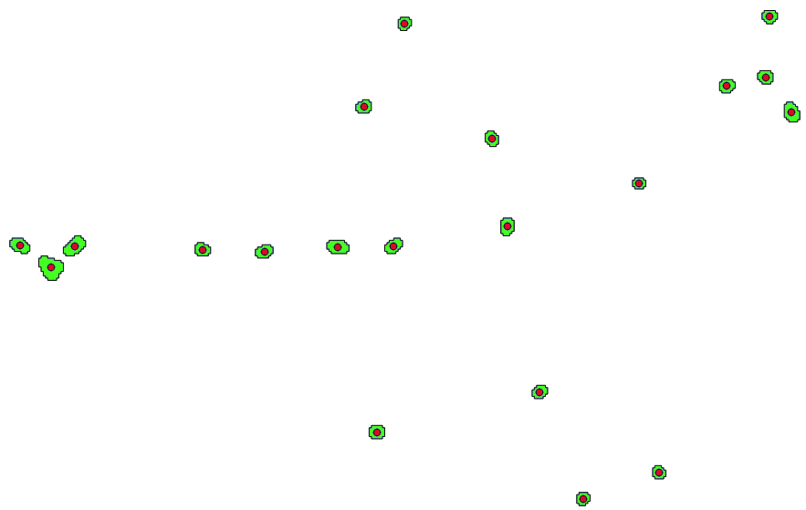
Georeference the raster image as before and then vectorise it Raster > Conversion > Polygonize, filter the polygons to show those with value 0 (black) and create polygon centroids from them.

enter image description here

There may be smarter or more accurate ways to do this, but it really does only take a minute using this method.

0

I guess the third step would be(among others) use high/low pass filters to eliminate the lines.Then Rasterize the resultant image to get points digitized automatically.

Your Answer

By clicking “Post Your Answer”, you agree to our terms of service and acknowledge you have read our privacy policy.

Not the answer you're looking for? Browse other questions tagged or ask your own question.