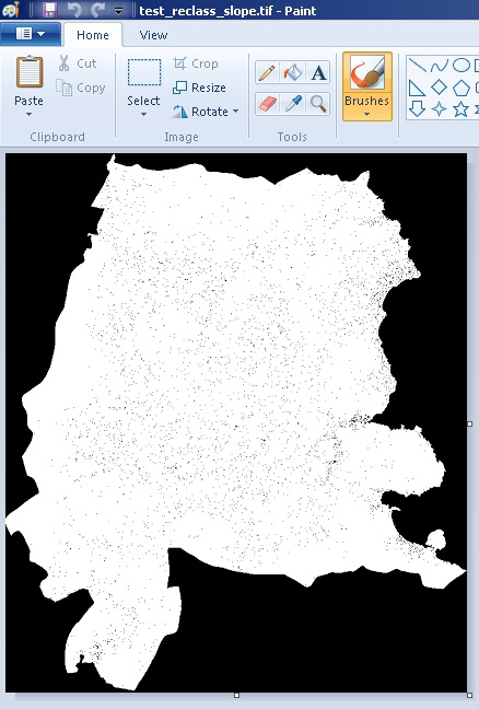
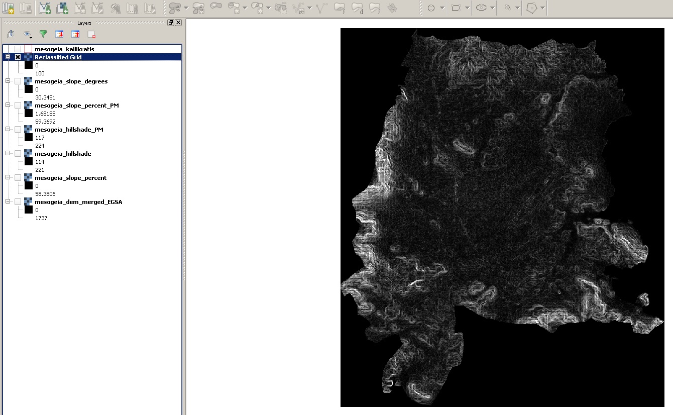
So I have this slope tiff image that I created using a DEM reprojected in meters. When I view it in QGIS, it shows fine. If I try to edit the picture in paint or Gimp afterwards, I dont see the same as in QGIS. What the cause of this? I have also produced a Hillshade tiff image and it works fine both in QGIS and in paint or Gimp as a grayscale image. Pictures below explain it better. One thing that I am considering is the fact that the pixel values in the Slope image are float numbers whereas in the Hillshade image, they are integers. This might cause the issue but I would like to hear any solutions.
1 Answer
You're exactly right that it's because the image is in floating points. Paint will look for images to have ranges between 0 and 255 integers (8 bit) as unsigned integers. Each corresponds to a gray shade. Images work in integers, so when you put it is as floating points I honestly don't know what happens, but it doesn't read it correctly. It's also likely that the histogram in QGIS is being scaled to fit the range and frequency of data.
Your best bet would be to play around with reclassifying the floating points into unsigned integers ranging between 0 and 255. How you scale that data is up to you and how you want to represent it cartographically.
-
The thing is that the values of the slope image are percent slope. I guess I could somehow round them up so that they become integers. Thanks for verifying my speculation Commented May 7, 2015 at 18:12