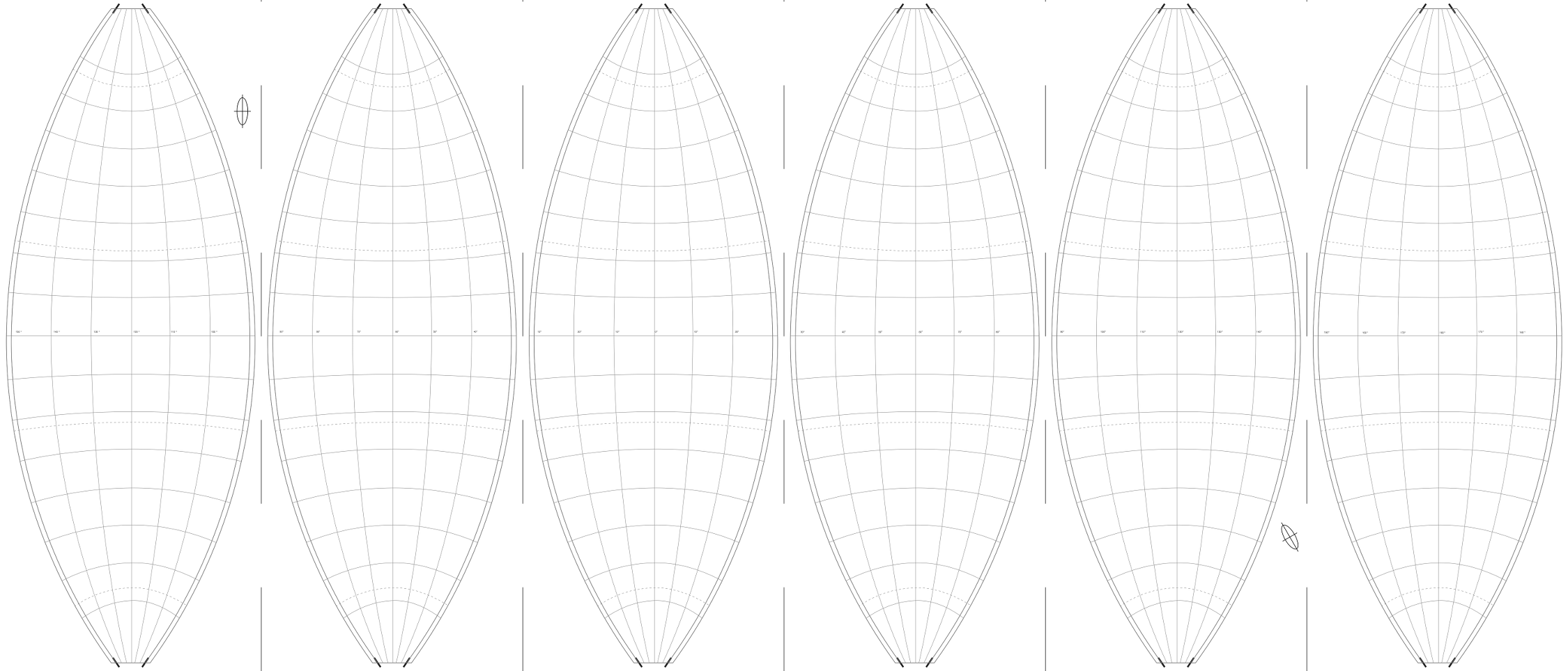
This won't be a complete answer as I finally searched the help of a professional to produce the gores with another software. Nonetheless, let me share with you what I (with the help of the links mentioned above and esp. from Hans van der Maarel) found out, in case it is of use to someone:
The right projection is in QGis is "Sphere_Polyconic, EPSG:53021". It does NOT fit the graticule seen above but might still be the better choice: In the graticule above the map has been scaled along the longitudes with 0.9 before the polyconic projection was applied, apparently to 'loose' less information on the globe caps (poles) which are without print.
Each gore has to be handled separately:
Create a custom CRS for each gore (where +lon_0 takes the values of -120, -60, 0, .. for 6 gores)
+proj=poly +lat_0=0 +lon_0=-120 +x_0=0 +y_0=0 +a=6371000 +b=6371000 +ellps=sphere +units=m +no_defs
Polygons for clipping the raster data (e.g. from Natural Earth) of the gore in the wrapping process (import as WKT, save as shapefile and then select as masks layer in Warp_Reproject) like:
POLYGON ((-150.000000000000000 82.000000000000000,-150.000000000000000 -82.000000000000000,-90.000000000000000 -82.000000000000000,-90.000000000000000 82.000000000000000,-150.000000000000000 82.000000000000000))
Then start a project for each gore with the specific custom projection and add your vector layers (e.g. from Natural Earth) with on the fly projection. QGis will sometimes show the map and sometimes not, depending on the scale and area of the map. These difficulties are reduced by loading the vector data in a project with the target CRS instead of changing the CRS afterwards.
A severe problem remained: Natural Earth Raster data for the gore with the data line will show an empty stripe along the 180th longitude after the warping to the polyconic projection.

