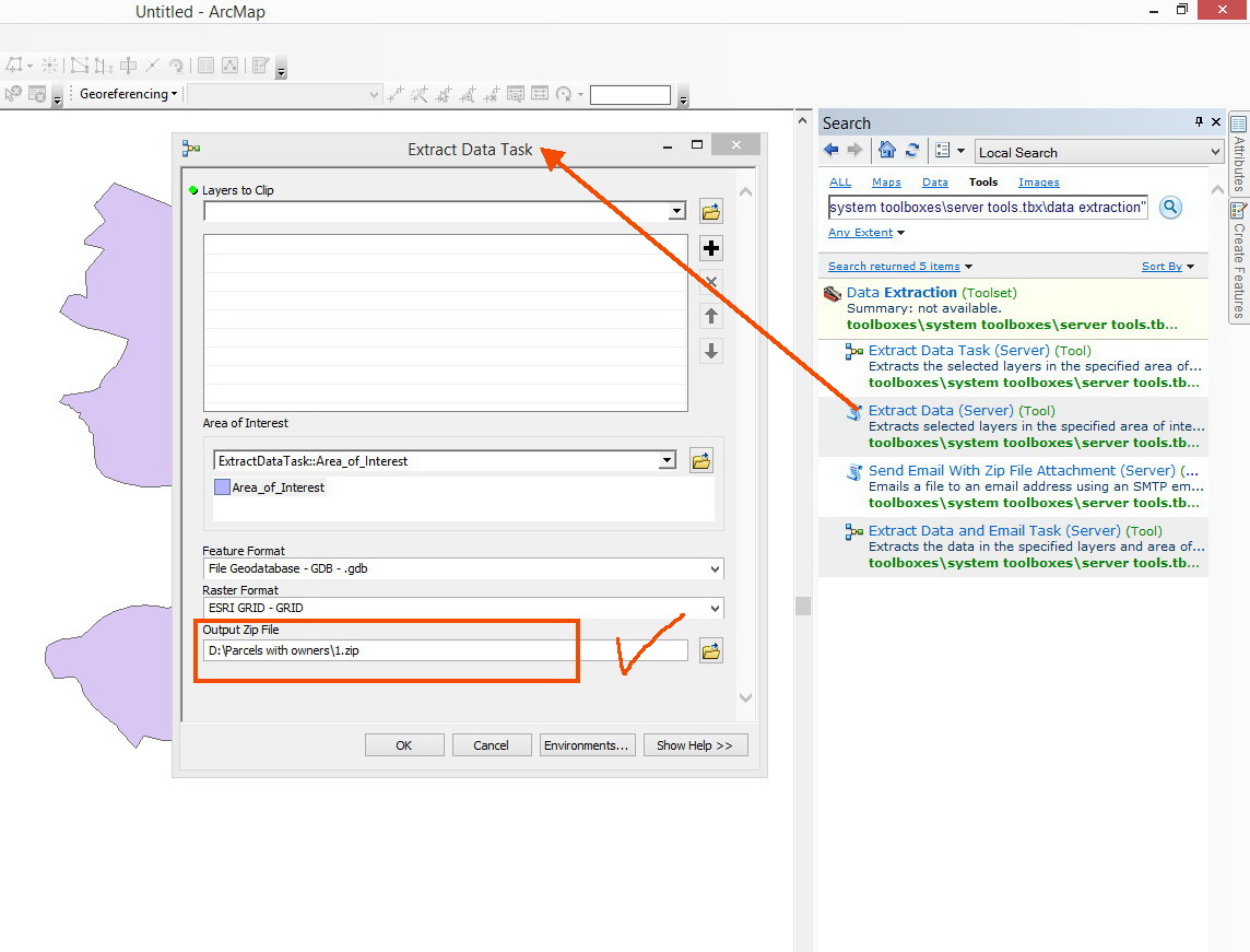
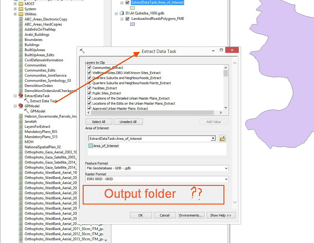
The idea behind a geoprocessing service Data Extract is that your input data are being transferred to the ArcGIS Server machine where they are processed by geoprocessing and/or custom script tools. The result of this work is being temporarily stored within the arcgisserver directory called arcgisjobs. For each run of the GP service, a folder with an unique GUID name is being created where the zipped file with the clipped layers is created.
This is a default behaviour and it's actually very useful because ArcGIS Server Account does have permissions to write files into this directory. Then the ArcMap client (expand the Geoprocessing menu > Results window) can actually retrieve this file from the server. The users can then choose to download the file from the Results window and choose where to save this file.
If you want to let your users to specify what folder to copy the file automatically too, you will need to tweak the Python code behind the GP service and add a step where the final dataset will be copied to the specified folder. However, the ArcGIS Server won't guarantee that it will have access to this folder as the server machine usually doesn't have write access to the user folders on user machines (unless they are on the same network and the output folder path is some kind of shared network drive for which the ArcGIS Server Account has the write permissions).
The most robust approach imo is to educate users on expanding the Results window and downloading the data file where they want to. Read more about working with task results here.

 How Can I configure the published tool so that the user can control and change the output folder location.