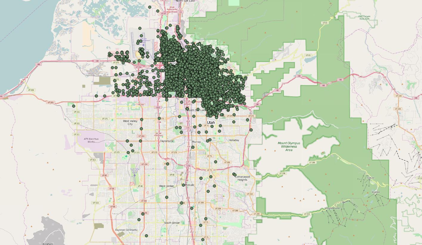
I'm wanting to create a data layer using some open crime data from Salt Lake City, but I can't figure out the coordinate system they are using. See the link below to view the data. (You'll have to scroll to the far right to see the X and Y coordinates.)
https://opendata.utah.gov/Public-Safety/SALT-LAKE-CITY-POLICE-CASES-2016/trgz-4r9d
I'm new to GIS.

