I can't find any documentation on how a spatial join in QGIS is working on the following situation:
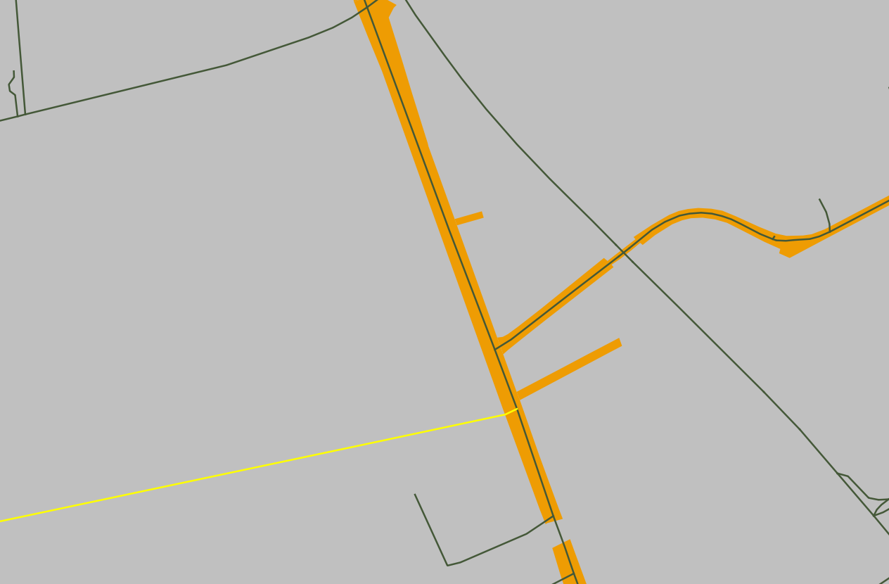
An area layer is being spatially joined with a polyline layer in order to compare attributes of both layers. But there's some cases, in which multiple lines overlap an area, each with a different attribute. My question now is: Which attribute gets selected for the spatial join?
In the screenshot you see that situation. The yellow line is the one QGIS actually took the value of and was written into the joined table. All other crossing lines have different values and seem to be ignored. How is that?

