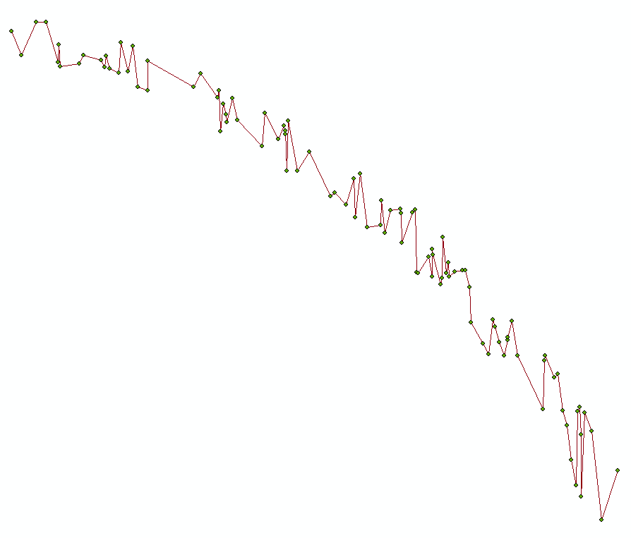
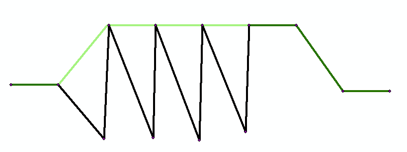
I have extracted values from a raster in table form, done some calculations and plotted these points as XY data, in which I hope to use to create a line. However due to the original layout of the raster, I occasionally get a chatter effect. I would like to be able to delete the points where ONLY the X-coord values is within 0.7m of another x-cord value.
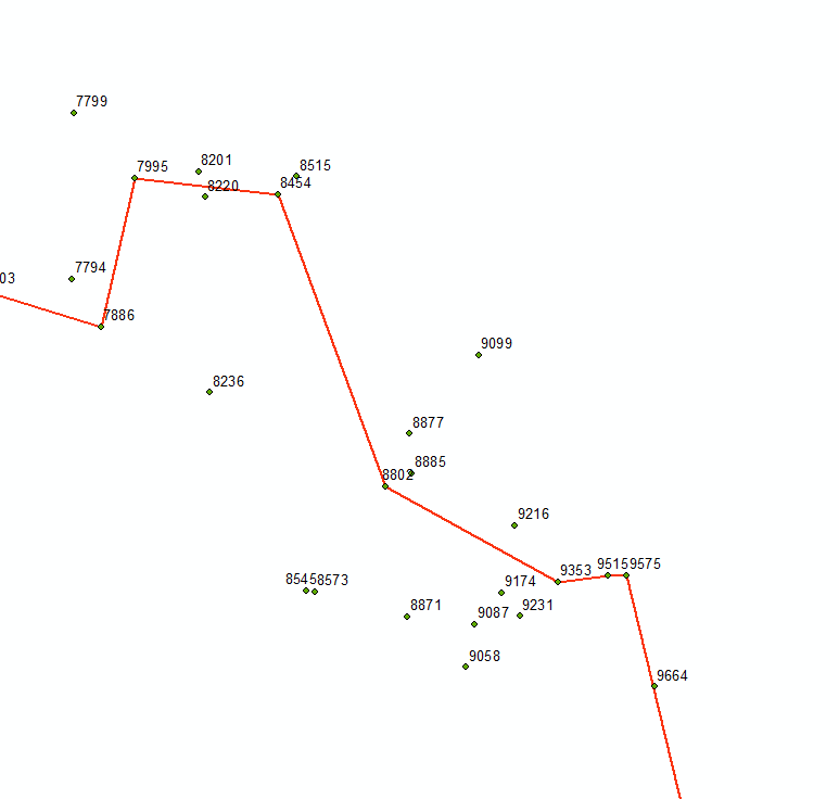
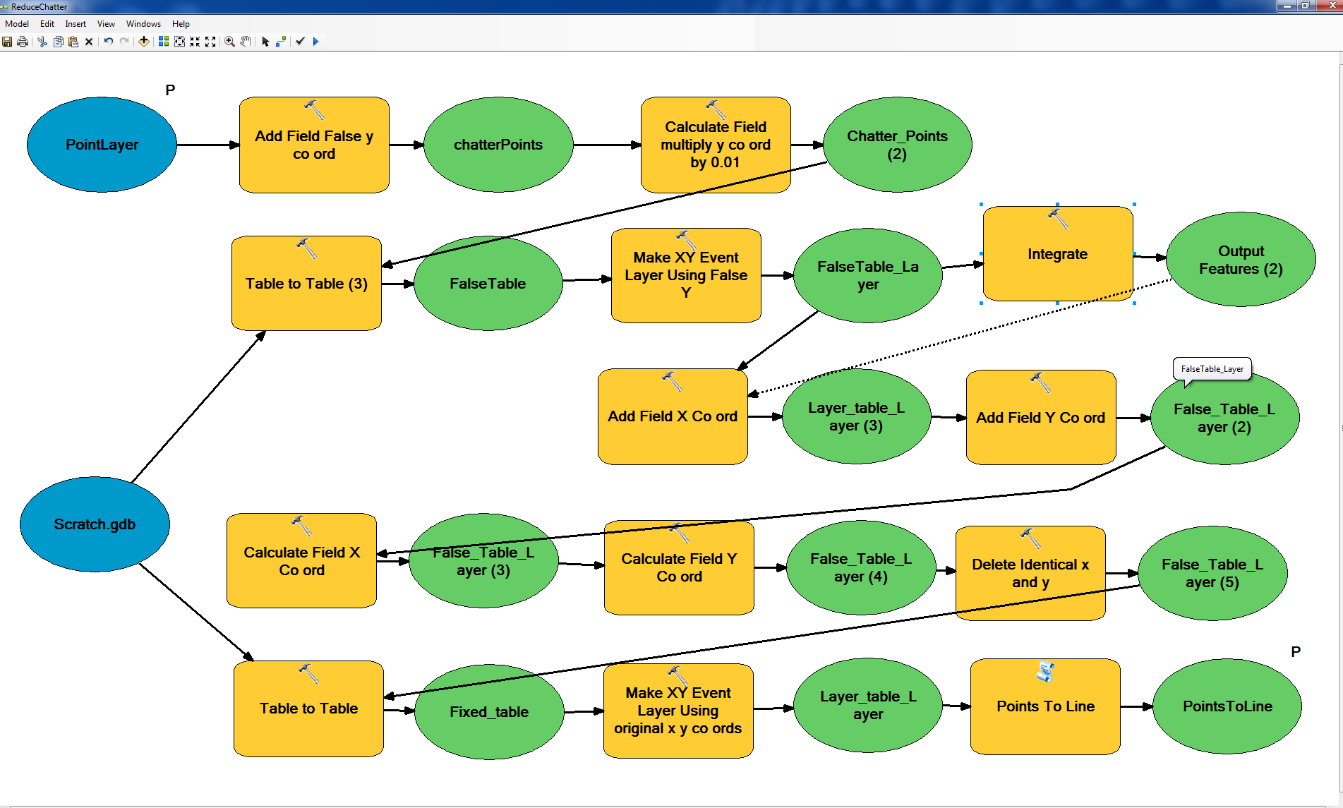
I have tried the Integrate tool, however it seems to take into account the Y coordinate as well. I have tried to smooth the line without luck as well.
I have no idea how to approach this problem.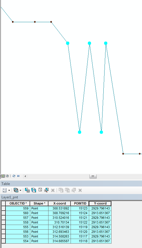
UPDATE
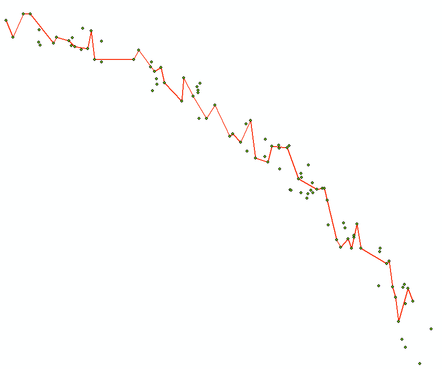
After running the code below in on the line feature class I got the following result, it basically skipped over all the duplicate points, which serves the purpose of what I needed. I don't know why the last point was dropped. Old line is in black, the new line is in red.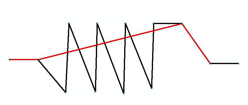
A more elegant approach would create and use a midpoint between each pair of the close points.

