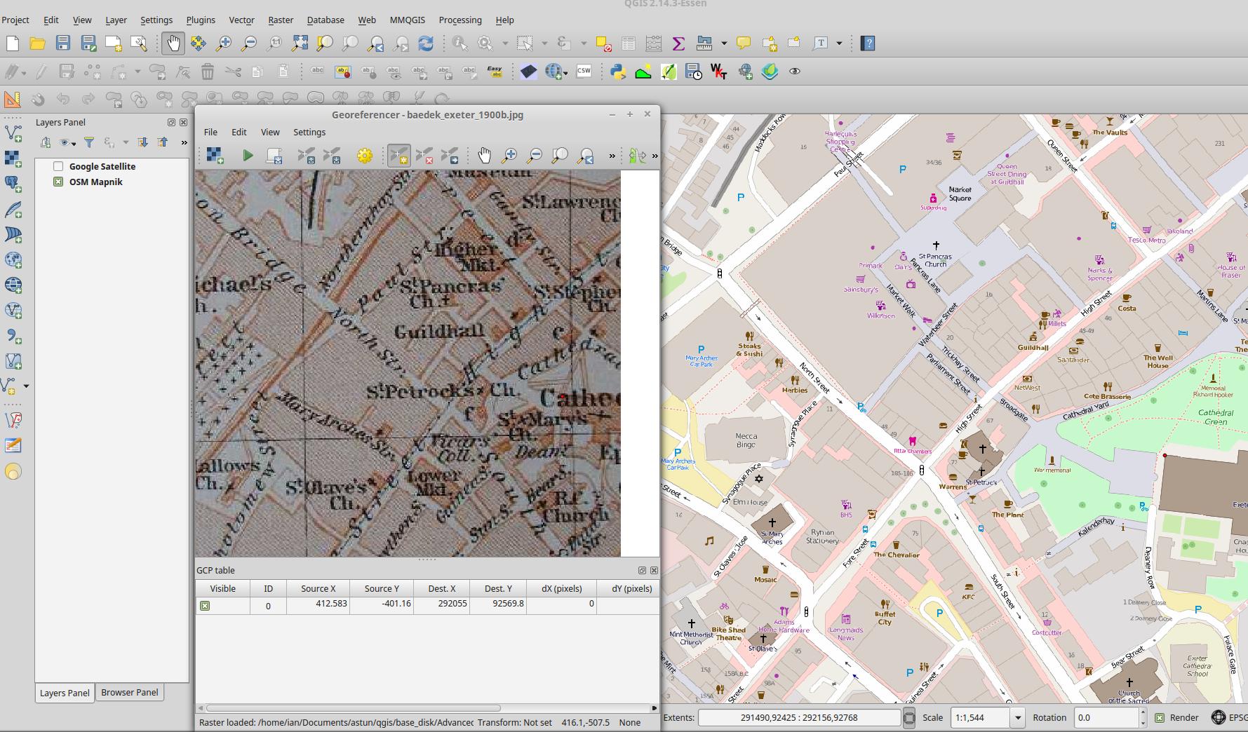
I georeference a lot of maps with QGis using a combination of visible street intersections on paper maps and right clicking on those intersections inside of maps.google.com and clicking "what's here?", then copying and pasting the latitude and longitude information into the Georeferencer program by hand.
Does anyone out there have any procedures to speed up their georeferencing efforts?
I've done this so many times I'm a little embarassed as a programmer that I'm doing it in such a pedestrian manner.

