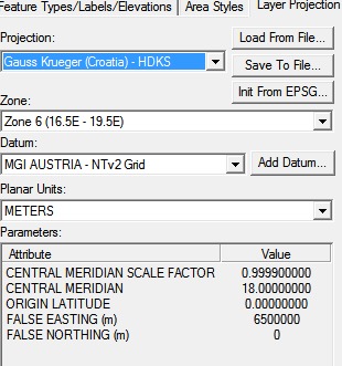
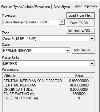
The MGI 1901 projection is ok. The Austrian surveying authority changed their MGI datum in the 1920ies, but the Yougoslav surveying authority did not follow, Hence they still surveyed in MGI 1901. The difference is in the +towgs84 parameters:
 MGI 1901 / Balkans zone 6
 +proj=tmerc +lat_0=0 +lon_0=18 +k=0.9999 +x_0=6500000 +y_0=0 +ellps=bessel +towgs84=682,-203,480,0,0,0,0 +units=m +no_defs

 MGI / Balkans zone 6
 +proj=tmerc +lat_0=0 +lon_0=18 +k=0.9999 +x_0=6500000 +y_0=0 +ellps=bessel +towgs84=577.326,90.129,463.919,5.137,1.474,5.297,2.4232 +units=m +no_defs
The MGI Austria ntv2 grid will be of little help for you, because it is calculated for Austria only. A detailed look into the Balkan CRS can be found here: http://spatial-analyst.net/wiki/index.php?title=MGI_/_Balkans_coordinate_systems
For use in Global Mapper, you find the included datums at http://www.globalmapper.com/helpv12/datum_list.htm. Apart from Hermannskogel, you might try one of the MGI entries.
See also Qgis OSM and layer projection problem


