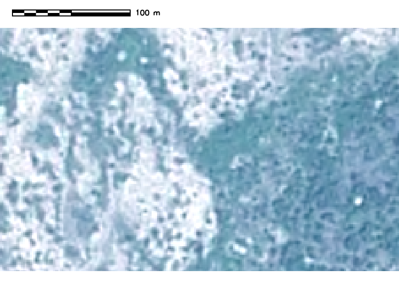
I have pansharpened my spot 6 image within grass 72 using i.fusion.hpf and it work well!
i.fusion.hpf pan=SPOT6_P_20151113@PERMANENT msx=SPOT6_MS_20151113.1@PERMANENT,SPOT6_MS_20151113.2@PERMANENT,SPOT6_MS_20151113.3@PERMANENT,SPOT6_MS_20151113.4@PERMANENT suffix=_hpf
i.colors.enhance red=SPOT6_MS_20151113.1._hpf@PERMANENT green=SPOT6_MS_20151113.2._hpf@PERMANENT blue=SPOT6_MS_20151113.3._hpf@PERMANENT
Now I would like to export this work in a multi-band raster. For that I have made a group.
i.group group=SPOT6_MS_20151113_hpf input=SPOT6_MS_20151113.1._hpf@PERMANENT,SPOT6_MS_20151113.2._hpf@PERMANENT,SPOT6_MS_20151113.3._hpf@PERMANENT,SPOT6_MS_20151113.4._hpf@PERMANENT
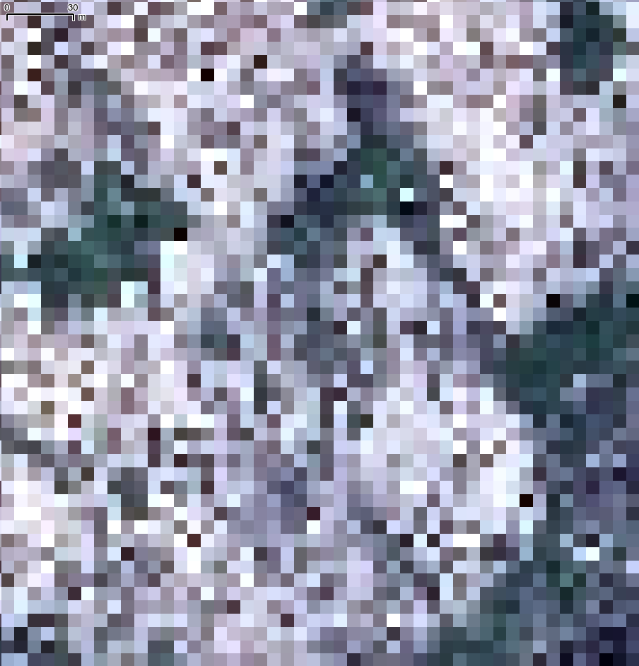
And tried to export this group... by when I open the exported file in Qgis ...
r.out.gdal --overwrite input=SPOT6_MS_20151113_hpf output="/home/delaye/Documents/futurSahel/IMAGERIE SAT/pansharp/SPOT6_MS_20151113_hpf.tiff" format=GTiff type=Float64
the resolution is not what I'm waiting for
I missed something, but where ?


