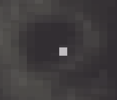
I am working with elevation data layer. I need to change a few of the pixel values of a raster layer manually. I use ArcGIS, ERDAS, QGIS. Few of the pixel values were deviated widely than its surrounding pixel values as shown in the image. I need to change them to look better. 
1 Answer
I can only offer you the tools that I'm familiar with, there may be other ways to do this. If you have the Spatial Analyst extension (ESRI) you should take a look at the "Fill" tool in the Hydrology Toolbox. If your erroneous cell is a "sink", this tool can be used to easily fill all sinks in the raster based on a query. If it's a "spike" (for lack of a better term), I am not sure if the fill tool can be used. I have never tried to input a negative into a query. In that case, I would look at the "raster calculator" tool (again, requires Spatial Analyst). You may be able to code a query to recalculate only selected cells. (This option may depend on whether or not the value of the erroneous cell exists elsewhere in the raster but is not an error in the other location)
Another option would be to convert the raster to points, manually edit the value for the erroneous points, then convert back to raster. The size of the dataset might prohibit this method. You'll need to be careful with your cell size when converting back to raster.
