I have two datasets, the first is a polygon dataset of wellsite pads in NE British Columbia. The second is a point dataset representing well heads in the same area. The point dataset has an attribute describing the location of the well head, this is the attribute I want to use to label with.
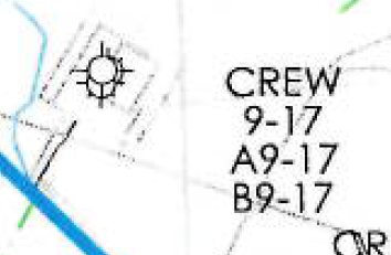
The problem is, is that it is not a one to one relationship. One wellsite pad can have multiple wellheads on it and there is no attribute linking the two. What I want to do is label each well pad (polygon) with a list of stacked labels of well heads that are on that pad. See screenshot example of the kind of things I'm after.
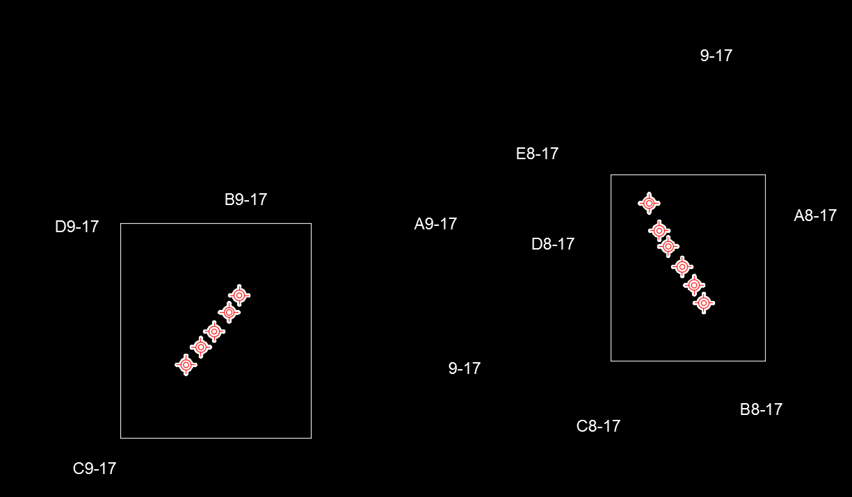
I sketched up some examples in CAD to illustrate my problem. If I label the wellhead data I get something like the below sketch
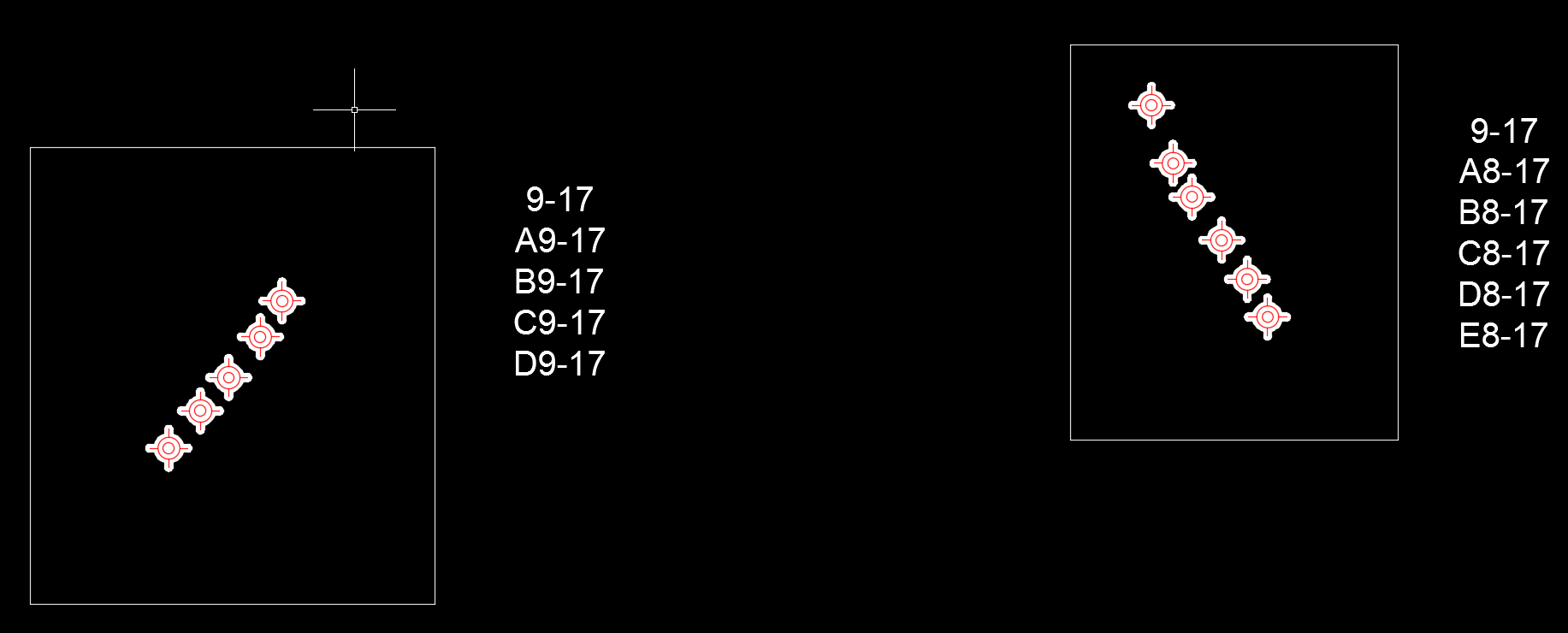
How do I have the well head labels for each pad neatly ordered and stacked?
See screenshot below.


