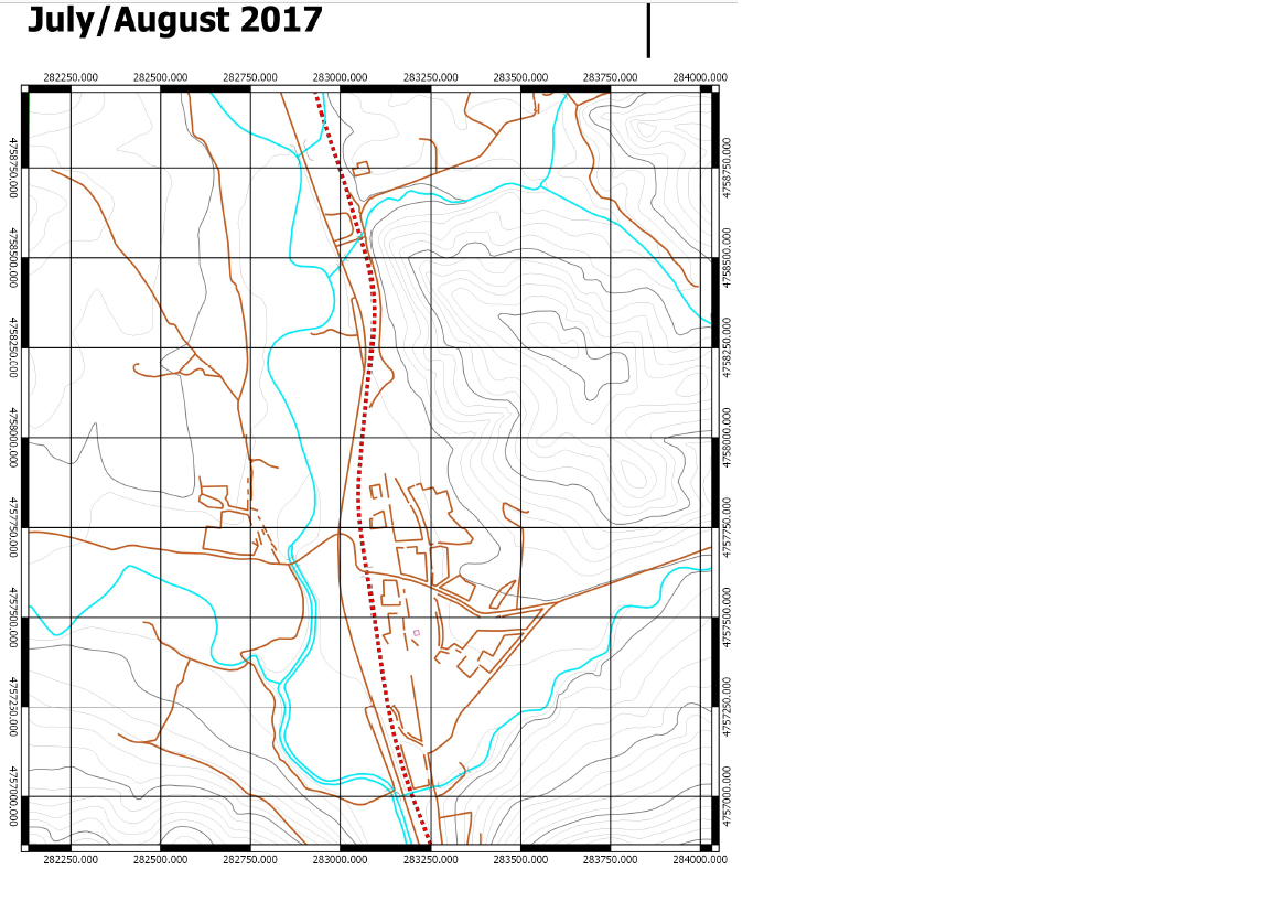
I have made up a number of maps in QGIS in order to complete a small mapping project in North West Spain. The data was downloaded from IGN:
The vector files downloaded were from: centrodedescargas.cnig.es/CentroDescargas/index.jsp , from the 1:25,000 vector maps in .dgn format.
These are referenced to CRS system ETRS89 30N. I've attached an example of one of the maps. 
I have a few questions (I'm not very experienced in GIS so please bear with me...)
How can I change the grid system on my map to match with WGS84 when my layers are in ED50 30N and actual grid is in ETRS89 30N, ensuring everything is properly calibrated and matched up?
Can I use British grid on my Garmin Etrex 10 (handheld GPS) in Spain, considering they're both in ETRS89?
