2

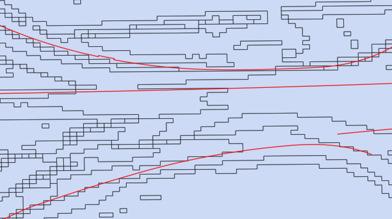
I am trying to join two vector layers into one, the first is a road noise barrier shapefile, the second is a vectorised DEM. The road barriers have a relative height attribute for each section of road, one barrier passes through several DEM regions while maintaining the same relative height.

When running the intersect operation I get the following error: GEOS geoprocessing error: One or more input features have invalid geometry.

How can I fix this error or get around the problem another way to find the height of the barrier after subtracting the Local DEM.

Zoom in image showing the single line traversing many areas

Changing the CRS didn't solve the problem

2
  • 1
    Use the buffer tool on your vector layer and apply a buffer of 0. Commented Nov 7, 2017 at 10:06
  • @julsbreakdown thanks for comment, it didn't work with a 0 distance buffer but a very small one did the job. I believe it is because the area of the line is zero.
    – nashm999
    Commented Nov 7, 2017 at 10:23

1 Answer 1

1

To correct the error I would suggest you try this fTools-Error: “…invalid geometry…”:

Reset the CRS. Go to Settings > Project Properties > CRS and Set a Reference system again. This should do the job. If not, export it as an ESRI shapefile.

Not the answer you're looking for? Browse other questions tagged or ask your own question.