I have imported a .shp file (Layer --> Add Layer --> Add Vector Layer) and want to get the latitude/longitude of the points in this file. (It's a file of world coastlines).
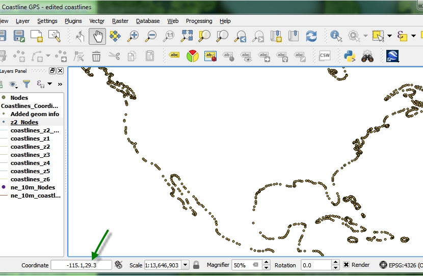
I ran Vector --> Geometry Tools --> Extract Nodes and have a nice outline. I even see the correct corrdinates in the QGIS window:
However, when I try to save that new file as a CSV, the X/Y coordinates are a weird format:
X           Y
-3817908    18432293
-3826512    18426524
-3840126    18409838
-3859723    18368052
-3867249    18359913
-3876943    18362476
-3912276    18386416
-3941774    18394507
Instead of the GPS coordinate type, i.e. -115.00, 49.82.
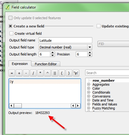
Even if I try to edit the fields, and add a new one for $x or $y, it shows the 'incorrect' number:
What's odd is I followed these exact steps on another Node file (that ne_10m_nodes), and it does show the correct format.
What could I be doing wrong?
(Note: the data source for the .shp file is different in the 'broken' and 'working' one, but after I get the nodes extracted, wouldn't think that makes a difference...)


