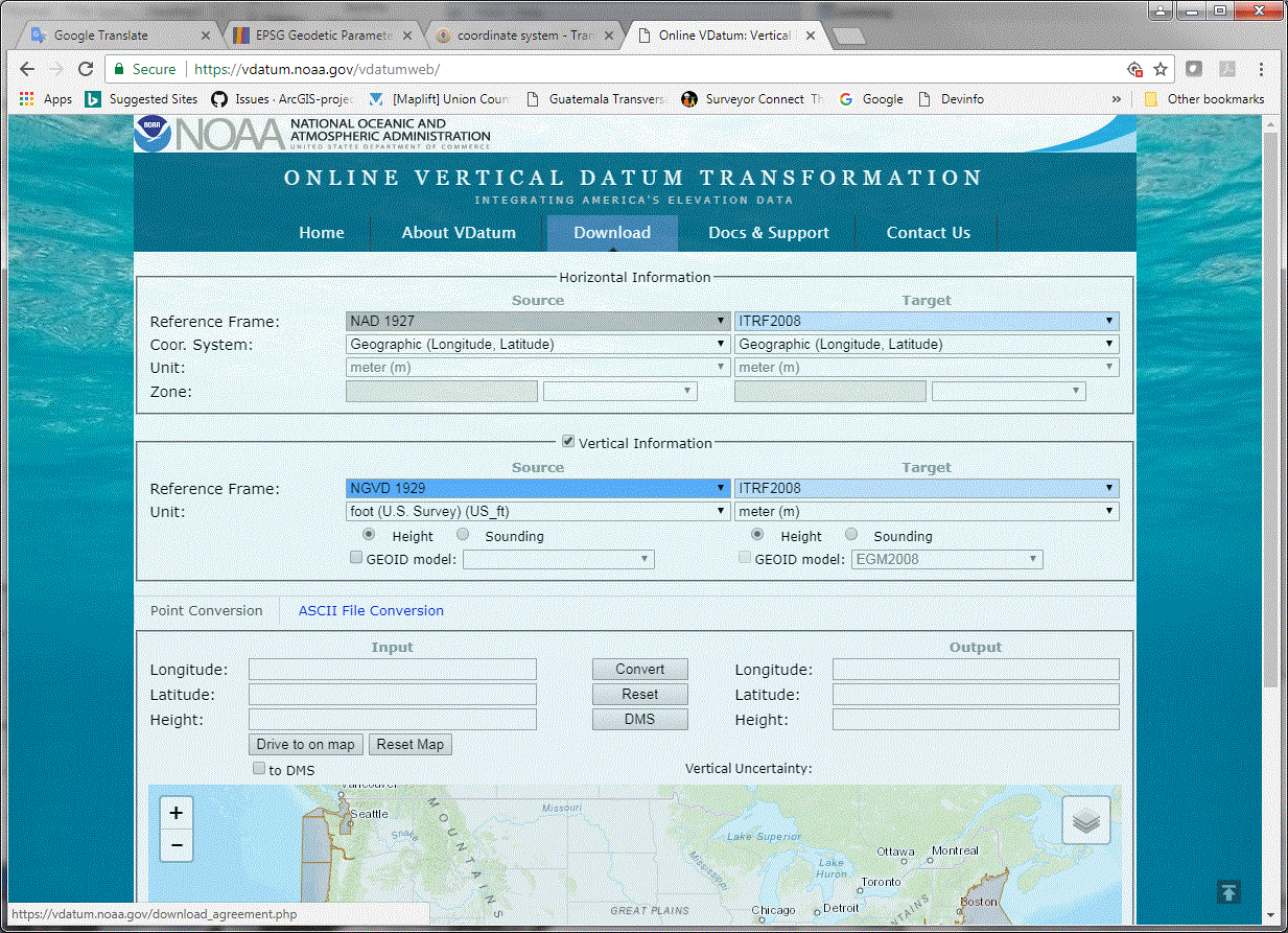
The online VDATUM converter can convert from NGVD29 to WGS84 ellipsoid heights. Use ITRF2008 as the output reference frame. WGS84 now stays relatively coincident with the ITRFxx reference frames.
In the below screenshot, I set the input horizontal reference frame (datum / geographic coordinate reference system) to NAD27, so set that to whatever the data is using.

Otherwise, to break this down into steps:
To convert from NGVD29 to NAVD88 you'll need VERTCON or CORPSCON (or ArcGIS 10.5.1 or ArcGIS Pro 2.1, see disclosure at end of answer).
Once you NAVD88 elevations, you can use the GEOID12B geoid model to convert to NAD 1983 (2011) (or another re-adjustment) ellipsoid heights. For this step, you could try HTDP (also from the National Geodetic Survey).
At this point you should do a conversion to ITRF08, but a 1" DEM is accurate to about 30 m, so there's probably not much point.
Disclosure: I work for Esri, thus my inclusion of the ArcGIS software.

