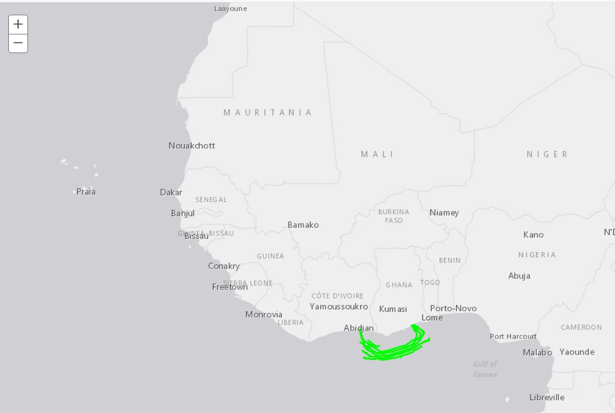
I am using the Esri proxy to avoid CORS issues as I am testing against clients data held on another domain.
The wierd issue I am having is that WFS data only seems to work via one route, whereas mapping data seems to need another.
I have hosted the proxy locally using IIS. The following works for the WFS layer (ie using esriConfig.defaults.io.proxyUrl)
esriConfig.defaults.io.proxyUrl = "/ESRI-Proxy/proxy.ashx";

    // *************************************************************
    // Add a WFS Layer
    // *************************************************************
    var url = "https://clientsServer/arcgis/services/TEST/MyMapService/MapServer/WFSServer";

    var opts = {
        "url": url,
        "version": "1.0.0",
        "name": "GGS_Existing_Cables",
        "wkid": 4326,
        "maxFeatures": 1000
      };

    var layer = new WFSLayer();
    layer.fromJson(opts);

    var map = new Map(getMapDivId(), {
        basemap: "gray",
        sliderorientation : "horizontal"
    });

    map.addLayer(layer);
However when I then bring in the mapping layers I get CORS warnings (including for the WFS layer).
The mapping code is as follows:
// *****************************************************************
    // * Create two ArcGISDynamicMapServiceLayer layers.
    // *
    // * One shows the OpenStreetMap layer as a basemap. The other loads
    // *   pipeline map data off the west coast of Africa from iTechs
    // *   ArcGIS Server Instance.
    // *****************************************************************
    var imageParameters = new ImageParameters();
    imageParameters.format = "jpeg"; //set the image type to PNG24, note default is PNG8.

    //Takes a URL to a non cached map service.
    var westAfricaPipelineLayer = new ArcGISDynamicMapServiceLayer(geturlToWestAfricaPipelines(), {
     "opacity" : 0.5,
     "imageParameters" : imageParameters
    });

    var streetMapBaseLayer = new ArcGISDynamicMapServiceLayer("http://server.arcgisonline.com/arcgis/rest/services/world_street_map/mapserver", {
     "opacity" : 0.5,
     "imageparameters" : imageParameters
    });

    map.addLayer(westAfricaPipelineLayer);
    map.addLayer(streetMapBaseLayer);

     // *****************************************************************
     // Add the Nile Delta WMS Layer
     // *****************************************************************
     var layer1 = new WMSLayerInfo({
         name: '1',
         title: 'Nile Delta'
     });

    var resourceInfo = {
        extent: new Extent(-126.40869140625, 31.025390625, -109.66552734375, 41.5283203125, {
        wkid: 4326
        }),
        layerInfos: [layer1]
    };

    var wmsLayer = new WMSLayer(geturlToNileDeltaWmsMap(), {
        resourceInfo: resourceInfo,
        visibleLayers: ['1']
    });

    map.addLayers([wmsLayer]);
However if I add the following, the mapping layers work but the WFS layer still stops working:
urlUtils.addProxyRule({
      urlPrefix: getiTechRestfulBaseUrl(),
      proxyUrl: getUrlToProxy()
    });

    urlUtils.addProxyRule({
      urlPrefix: getiTechWMSBaseUrl(),
      proxyUrl: getUrlToProxy()
    });
getUrlToProxy is as follows
const URL_TO_PROXY = "http://localhost/ESRI-Proxy/proxy.ashx";
I would have thought that they amount to the same thing, i.e. esriConfig.defaults.io.proxyUrl and urlUtils.addProxyRule?
I have either (hopefully not) found a bug, i'm doing something very stupid, or I am using the two proxy routes in an unsafe manner (or a combinataion of...).


