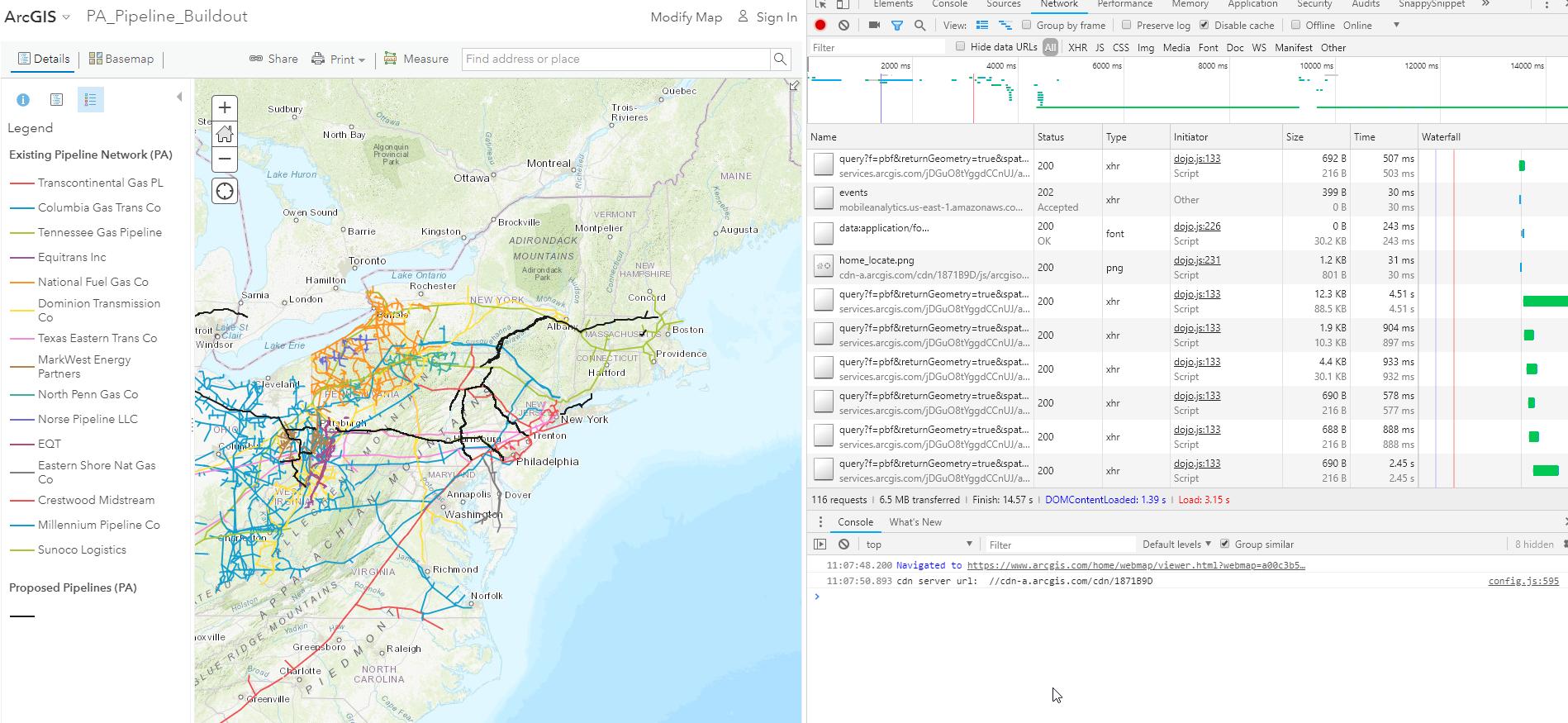
I would like to extract the pipeline geometries from https://www.arcgis.com/home/webmap/viewer.html?webmap=a00c3b5cee4e4fe0b238b5e05ed80204
It shows the existing gas & oil pipelines crossing through Pennsylvania and was created by FracTracker for http://www.roverpipelinefacts.com/about/route.html . Despite it's a NGO they don't allow you downloading their data.
If I should know the REST FeatureServer URL I could download it (EXAMPLE):
wget "https://services.arcgis.com/jDGuO8tYggdCCnUJ/arcgis/rest/services/AtlanticCoastPipeline/FeatureServer/2/query?where=1=1&outFields=*&outSR=4326&f=geojson"
How can I find out this URL for the web map from above?

