0

I merged two shapefiles together, with the same geometry:

  • rain runoff data in a watershed
  • population living in that watershed

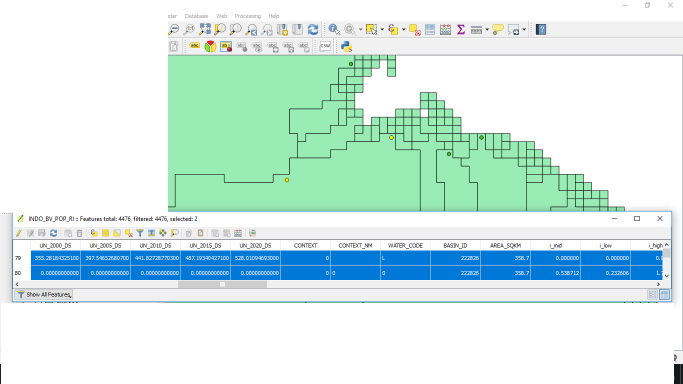
But when I open the attribute table, the information merged is presented in two rows, such as in the picture below. Any insight on why I can't have all the info in the same line for this watershed? enter image description here

2 Answers 2

1

The reason you have two rows in the attribute table is because you have two features. When you merged the data you effectively stacked one set of polygons on top of the other. A merger is a merger of geometry and not just the associated attributes.

What I suspect you really wanted to do was a spatial join. Alternatively, if the polygons have uniques ids that are shared between the two files, you could do a traditional table join using the attribute table from one dataset and join on the id field.

For a spatial join go: Vector->Data Management Tools->Join attributes by location For a traditional join right-click on one of the layers abd go: Properties->Joins. Click the little green plus and define your join
1

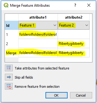
Use the Merge selected features tool on the Advanced Digitizing Toolbar.

  1. Select both features, and click the Merge selected features button.
  2. For each field, select which feature's attribute to use from the dropdown menu next to "Id".
  3. Preview the attributes of the merged feature in the last line ("Merge").

enter image description here

Your Answer

By clicking “Post Your Answer”, you agree to our terms of service and acknowledge you have read our privacy policy.

Not the answer you're looking for? Browse other questions tagged or ask your own question.