I am trying to open multiple xyz text files into mapinfo to create a table where i can create a raster image of multibeam bathymetry. Is there a script which will open each .txt file and merge them all into a single .tab file. And even create a raster image from this?
1 Answer
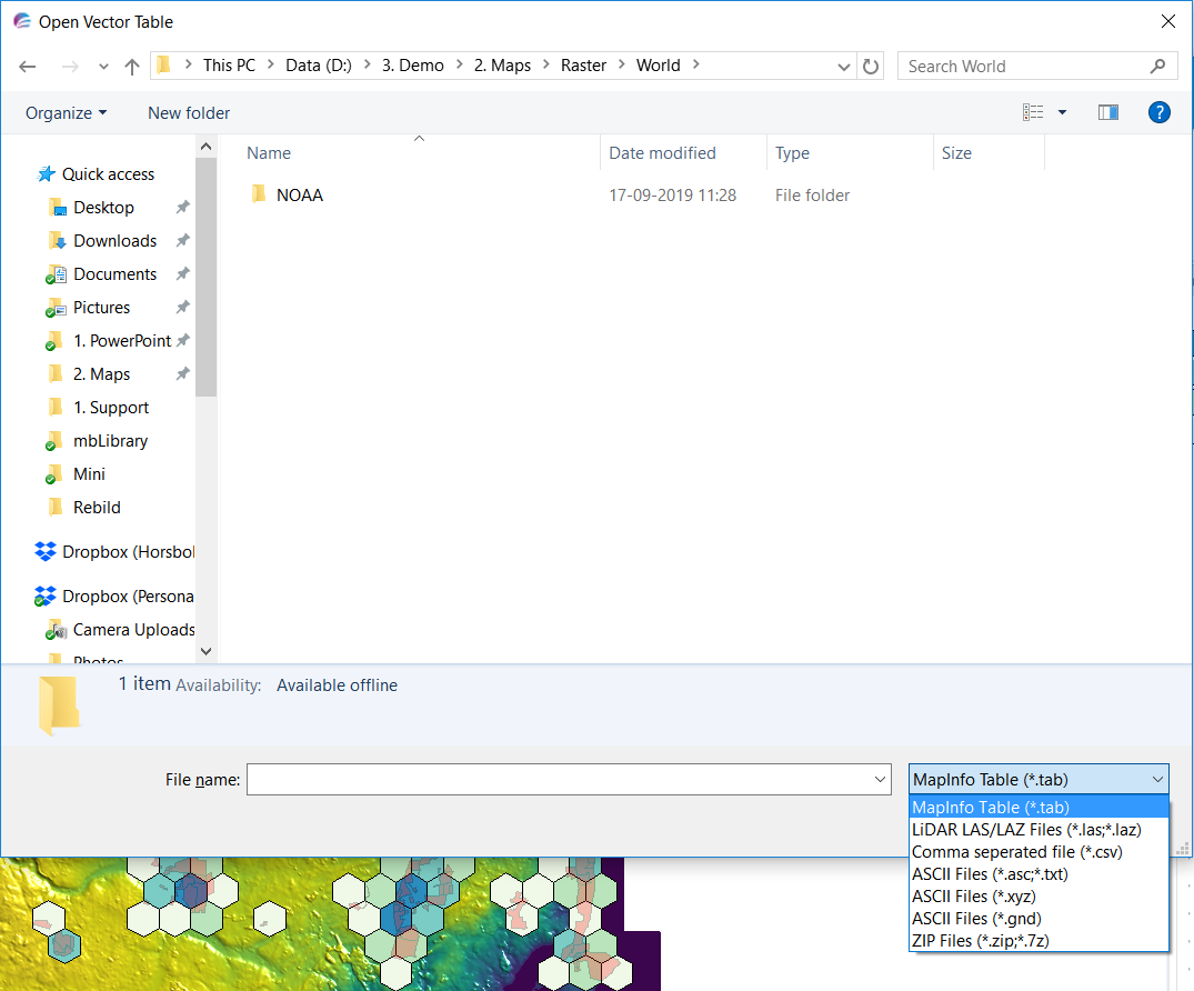
If you have access to MapInfo Pro Advanced, you can create a raster from multiple input files. That can be MapInfo tables, LiDAR files or text files.
The dialog below shows the file types that can be selected and processed into a raster grid

