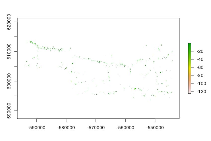
I'm trying to calculate subglacial sink volume by using the rgrass7 package to utilize GRASS functions in R. However, the sinks found by the function seem to be very small:

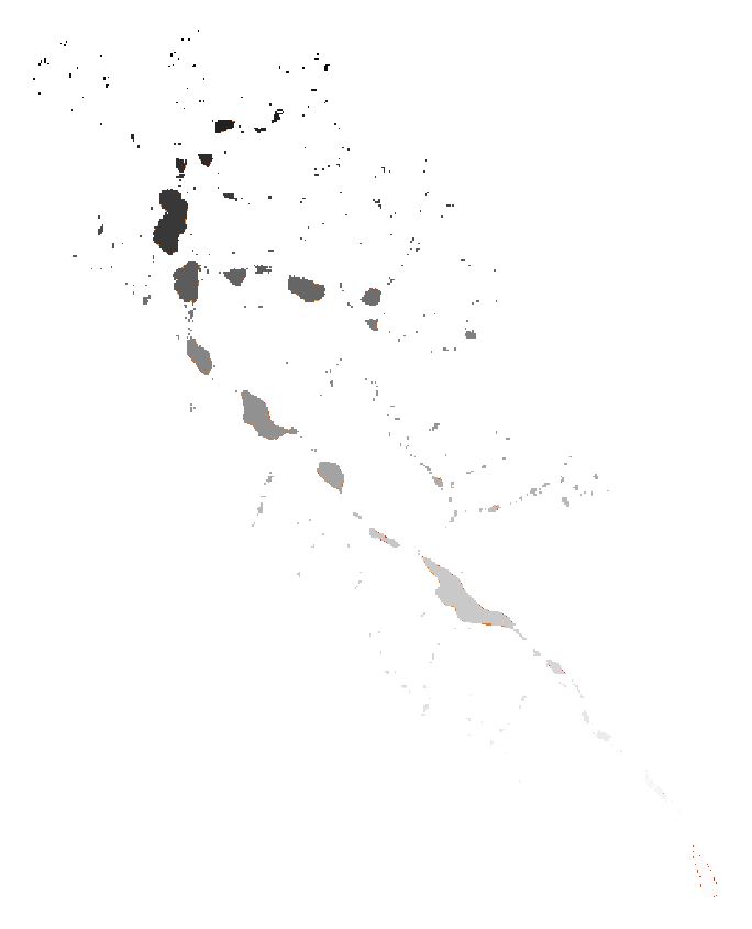
When I run the similar functions in ArcGIS, the result makes much more sense as there are all kinds of sink sizes:

(These two images are only examples, I have verified the same results with multiple glacier rasters.)
Are there noteworthy differences between the two routines? Does GRASS not fill sinks to the pour point? Can I somehow give more parameters to r.fill.dir like the fill height etc.?
My code is:
initGRASS(gisBase = "/usr/lib64/grass76/",
          home = tempdir(),
          mapset = "PERMANENT",
          override = TRUE)

# modify current mapset with projection
execGRASS("g.proj", flags = "c", proj4 = "+proj=aea +lat_1=25 +lat_2=50 +lat_0=37 +lon_0=87 +x_0=0 +y_0=0 +datum=WGS84 +units=m +no_defs")
execGRASS("g.mapset", flags = "c", mapset = "new_mapset")

### run GRASS commands
execGRASS("r.in.gdal", input = myraster, output = paste0("GRASS_raster"),
          flags = c("overwrite"))
execGRASS("g.region", raster = "GRASS_raster")
execGRASS("r.fill.dir", input = "GRASS_raster", output = "GRASS_filled_DEM", direction = "flow_test", flags = c("overwrite")) # fill sinks
execGRASS("r.out.gdal", input = "GRASS_filled_DEM", output = paste0(output, "filled_DEM.tif"), flags = c("overwrite"))

r.hydrodemaims at finding only small sinks, but I will take a closer look.