I am currently building a global database of sutures, major faults and thrusts, orogenic events, magmatic episodes and plate boundaries with the goal of building a framework of Earth's tectonic evolution over the past three billion years.
I am surfing the internet for maps to digitize and add to my database. Unfortunately, I have been mostly roadblocked for the past several months because most of the maps I am using as reference materials are in the wrong map projection. GPlates, the software I am using for this project, only accepts rasters that are in simple equirectangular, or latlong, projection. But most of the maps that I have found are in other projections in order to minimize distortion.
I emailed a geophysics researcher about this problem and showed him several of the problematic maps, asking him for help in georeferencing them. He said that he unfortunately didn't have the time to undertake that task for me, but he did recommend QGIS to me as a software that was able to georeference the images.
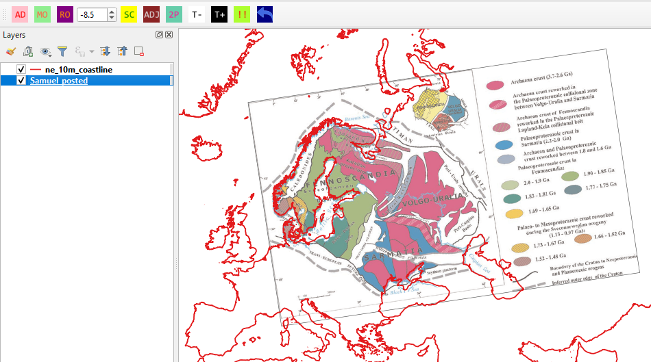
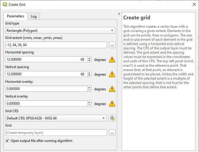
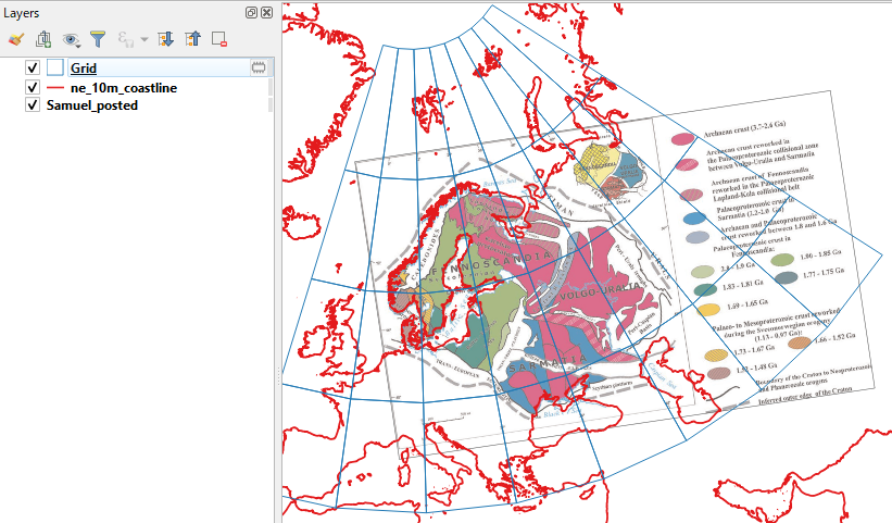
I downloaded QGIS 3.12 and experimented with it for a while to try and accomplish a correct reprojection of a few of the images into simple latlong, but despite watching several QGIS tutorials and reading a large amount of documentation in online user manuals and sites like this one, I was never able to produce any georeferenced maps without unacceptable amounts of error.
None of these maps contain any information whatsoever about what projection they are set in. Most of them don't have a grid, only some latitude and longitude tick marks along their edges. Some of them have no latitude or longitude information at all, and show only coastlines and political boundaries for reference. I couldn't find any helpful information online about how to figure out what projection a map is in when that information is not given. I feel like I am trying to squeeze blood from a stone with this project.
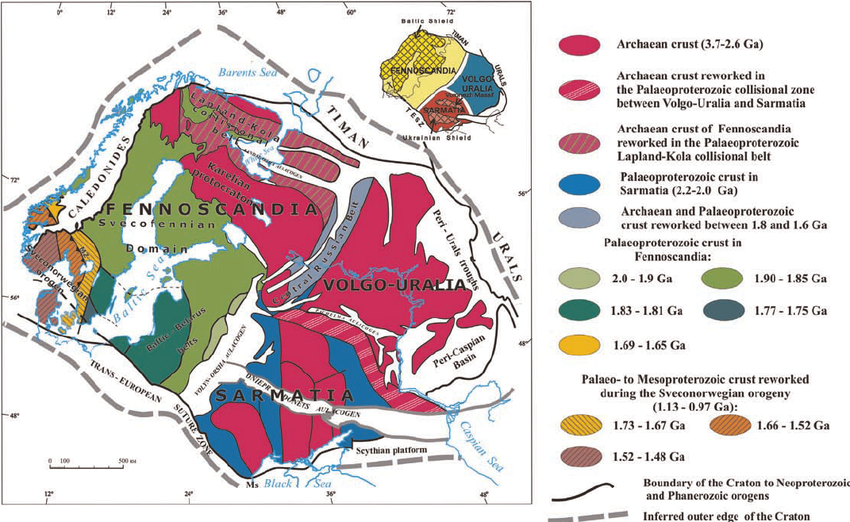
I am clueless, and absolute beginner, and need help. For reference, I have attached one of the problematic images that is set in an unknown map projection.


