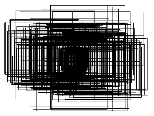
I'm looping through a list of rasters, getting the bounding box for each from raster@extent, and storing the matrices representing each polygon in a list. I'd ultimately like to save to shapefile where there will be like 359 polygons like:

I'm having trouble understanding how to actually get these polygons into a form that they can be exported as a shapefile. I have tried, for instance:
for (i in 1:length(file_list)){

    im <- raster(file_list[i])
    min_x <- im@extent@xmin
    max_y <- im@extent@ymax
    max_x <- im@extent@xmax
    min_y <- im@extent@ymin

    x_coord <- c(min_x, max_x, max_x, min_x, min_x)
    y_coord <- c(max_y, max_y, min_y, min_y, max_y)
    xy_mat <- cbind(x_coord, y_coord)
    poly_list <- rbind(poly_list, list(xy_mat))

  }

  #create simple feature polygon
  poly_sf <- st_polygon(poly_list)
I'm unclear on where to go from here. Admittedly I'm not an R spatial ninja but I thought there would be a relatively straightforward way to get from coordinates representing polygons to a shapefile. I am able to add extent and CRS whenever that is called for. I'm not wed to sf, that's just the furthest I got.
