Currently, we have a big dataset imported in our QGIS profile. Normally we would have imported this by WMS but because this particular WMS/WFS consists of more than 20 parts and the data is technically complete and will never change. We could luckily download the vector data directly. It is called the "Tertiair geologische kaart".
Which can be found here: http://www.geopunt.be/catalogus/datasetfolder/06d1a1d7-d46c-43d6-96aa-25225b57dd8b.
But here comes our problem, for this dataset no SLD or similar kind of file was constructed to make up the colour of the legend. We know how the legend is constructed on a specific field, **so that is not the problem is of the colour, which has been set as a standard for this dataset. Normally you get this with the WMS/WFS but that is not the option here. The legend is also supposed to be "Listhographic".
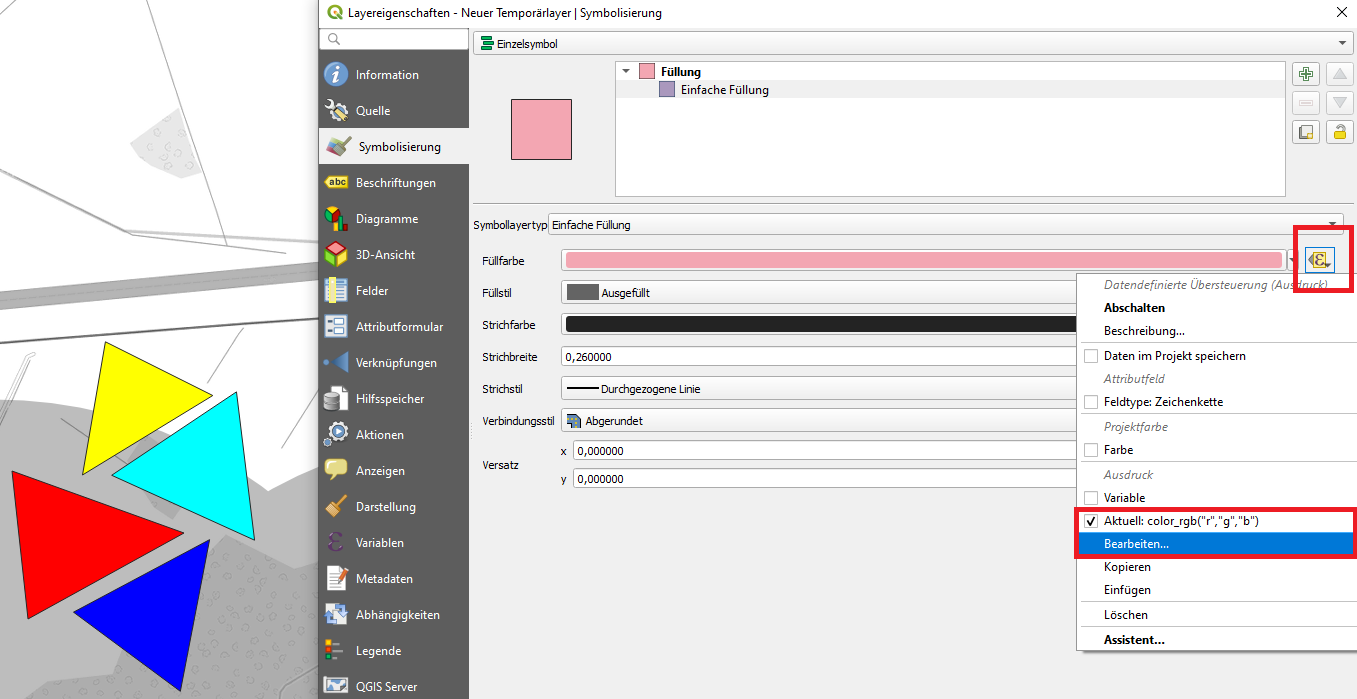
How do we set the symbology colour based on the colour percentage/RGB table?
There is a table that does have the colour percentages and RGB-codes, we managed to link this table based on the "code column". So, in theory, we should be able to just set symbology based on those columns and values, while still maintaining the legend as it is but the problem is we do not how to do that.
Here is a sample of the table:


