2

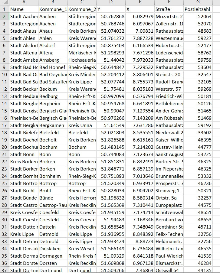
I would like to add GPS coordinates from Google Maps (see image below) as point data in QGIS and combine it with an existing shapefile [dvg1_EPSG25832_Shape.zip] https://www.opengeodata.nrw.de/produkte/geobasis/vkg/dvg/dvg1/. enter image description here
Unfortunately the dots don't fit to the shapefile (see image below). enter image description here
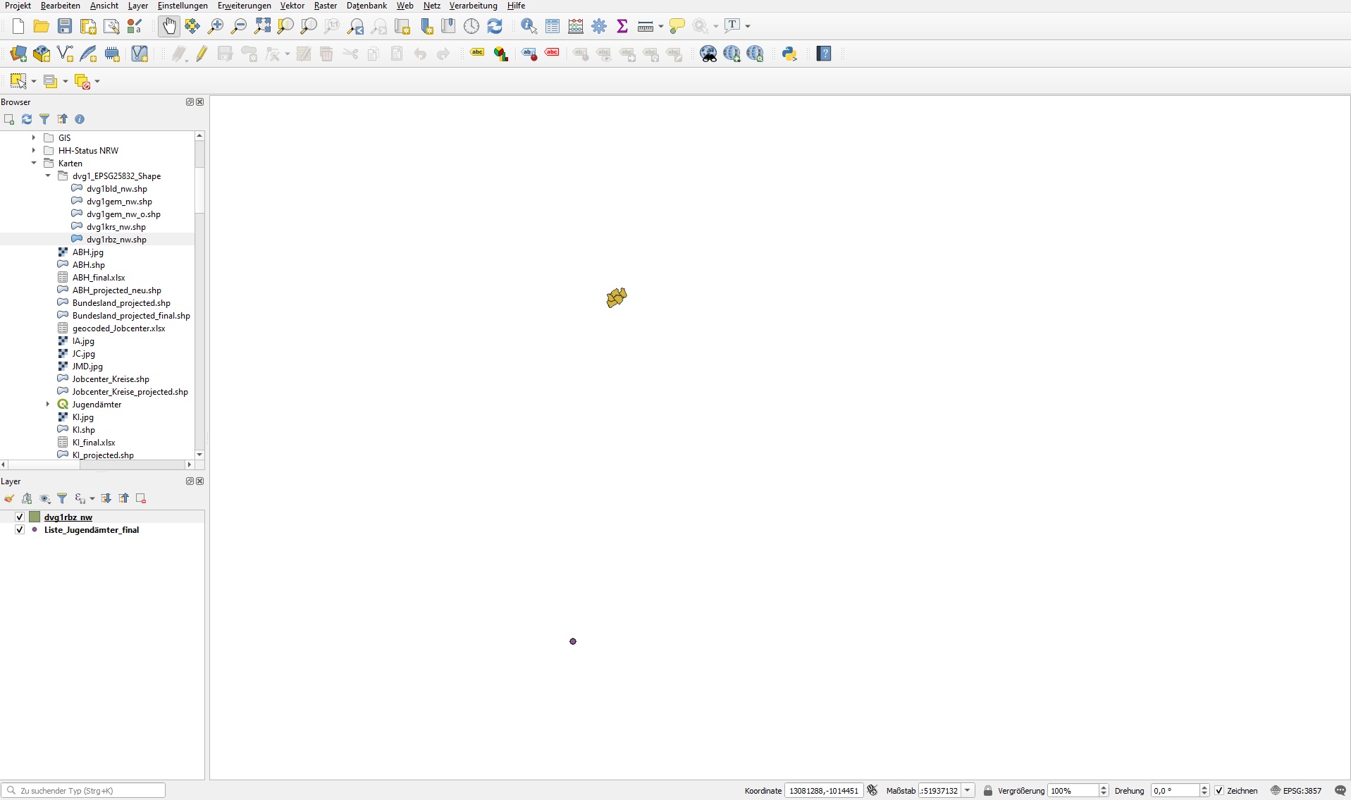
I think the problem is due to different Coordinate Reference Systems, but I don't know how solve it.

2
  • Maybe the problem arises when importing the text data. Did you make sure to specify the CRS of the coordinates? I guess they are WGS84 = EPSG:4326 Commented Aug 25, 2020 at 11:17
  • 1
    GPS is unlikely to use Web Mercator, so tangling with coordinates in Google Maps may distract you from your task. Please Edit the question to specify the CRS generated by the GPS (ought to be WGS84) and the CRS of the shapefile.
    – Vince
    Commented Aug 25, 2020 at 12:25

1 Answer 1

1

The X and Y of your GPS table are in Geographical Coordinates: select the coordinate system for your GPS table EPSG:4258 (ETRS89), that should plot them in Germany. The shapefiles should then plot together with your points.

Your Answer

By clicking “Post Your Answer”, you agree to our terms of service and acknowledge you have read our privacy policy.

Not the answer you're looking for? Browse other questions tagged or ask your own question.