I am pretty new with QGIS and GIS in general.
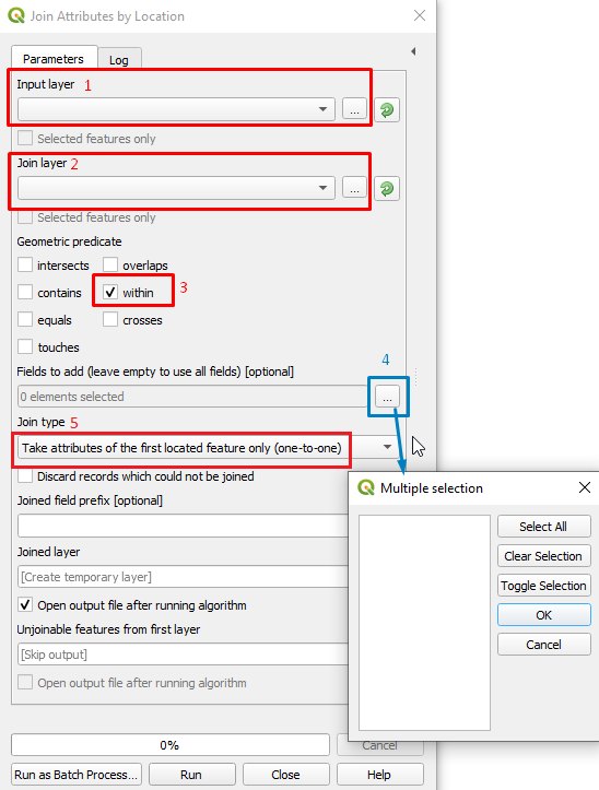
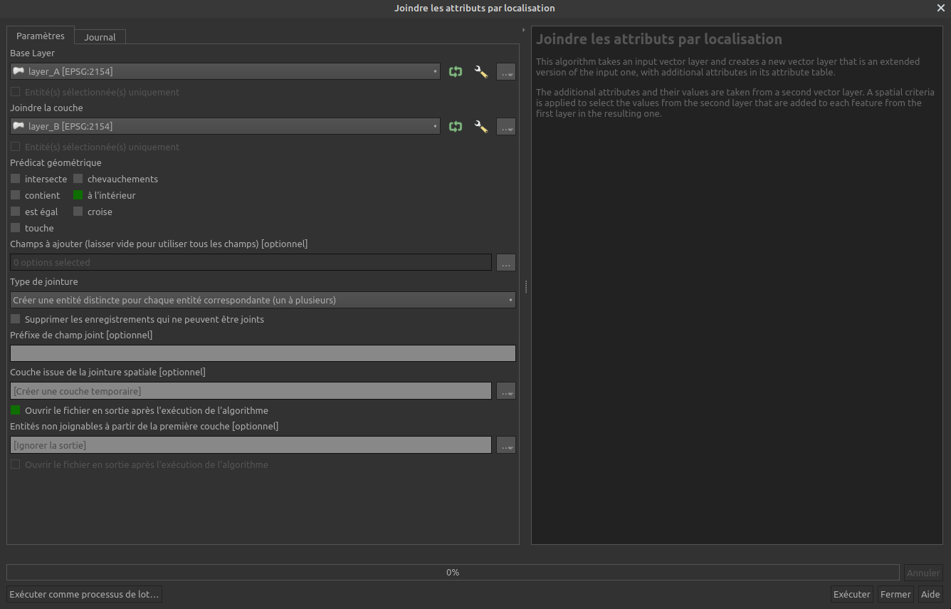
The thing is I have 2 shapefiles, the first one with municipalities (2457 polygons) and the second one with hydrological regions (363 polygons). I need to know which municipalities are inside which hydrological region. The shp with the hydrological regions has a column with an ID (HR1, HR2, etc.).
How can I add that value to each municipality?


