2

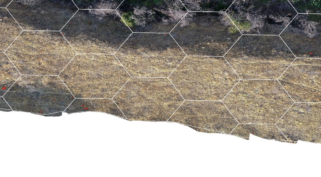
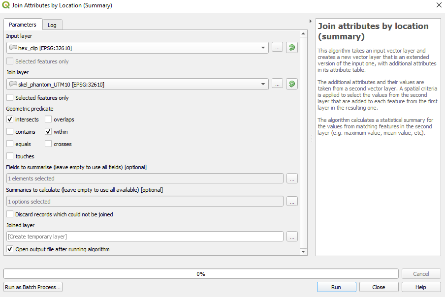
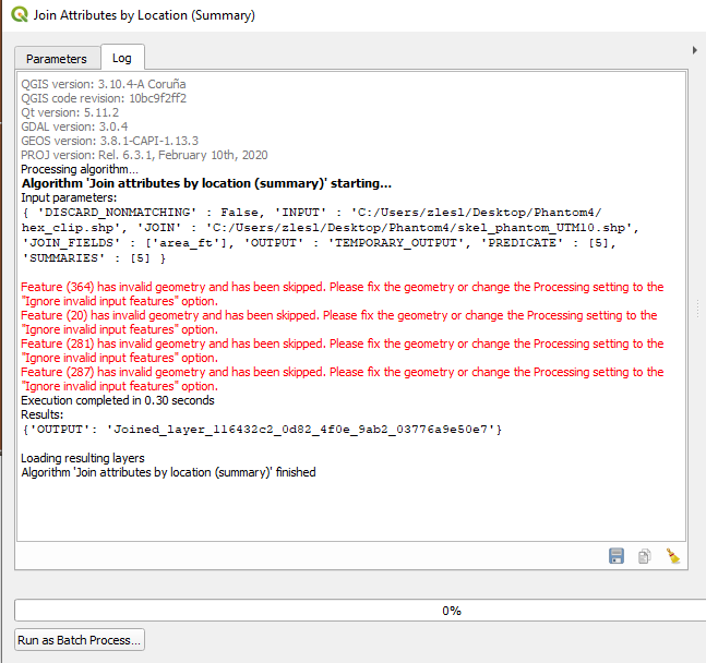
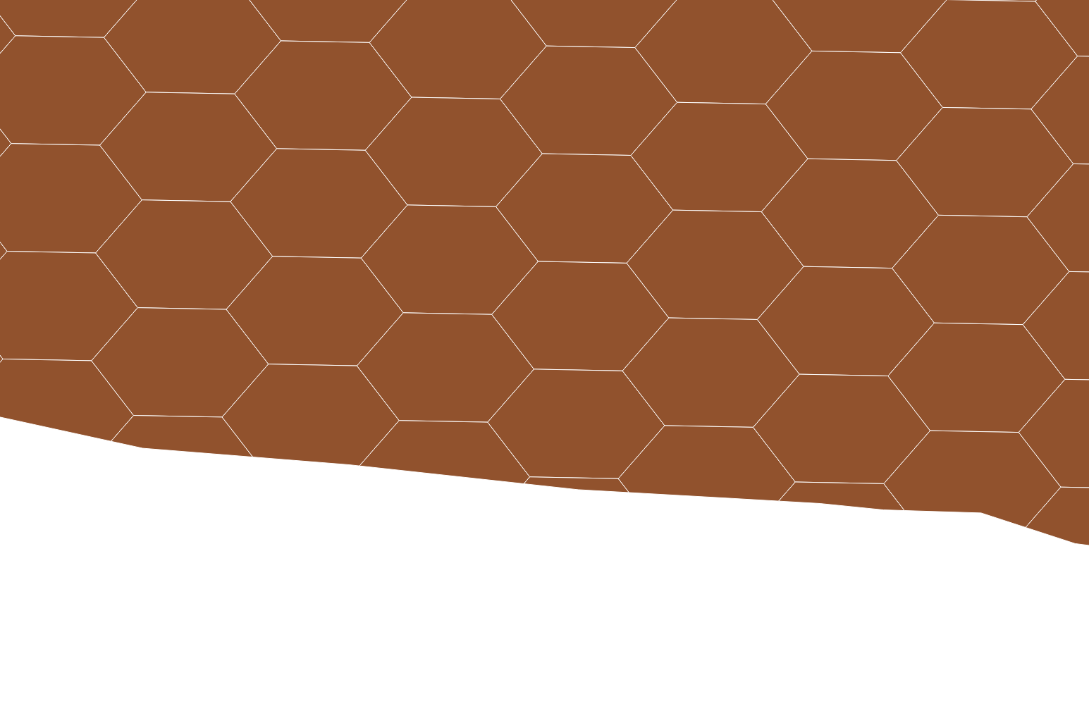
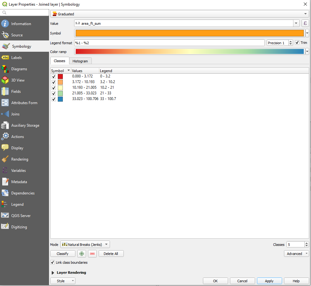
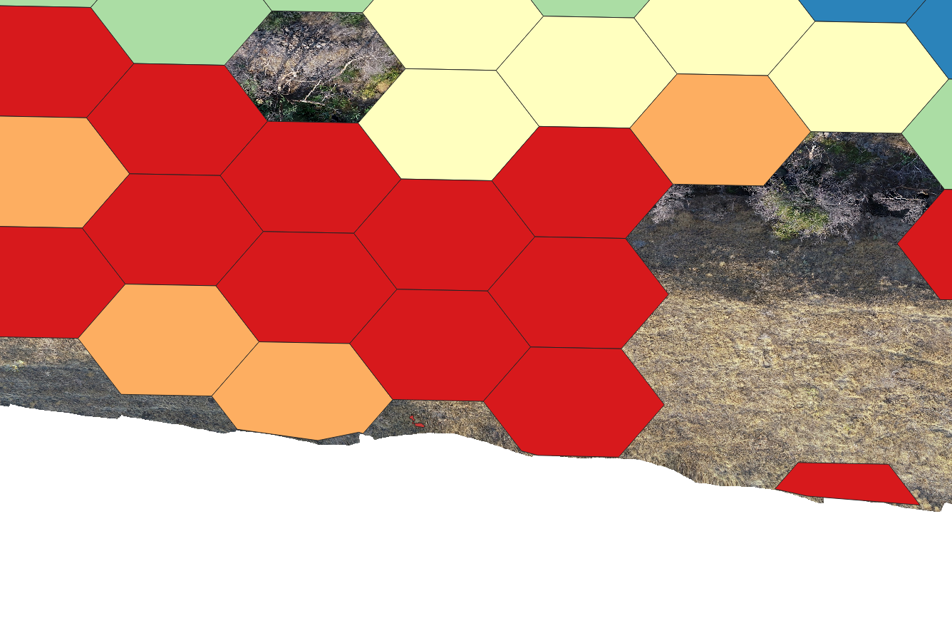
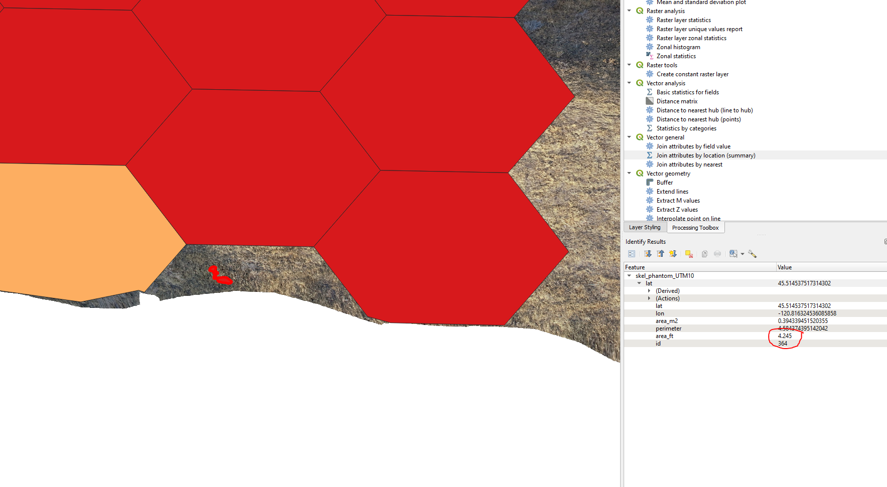
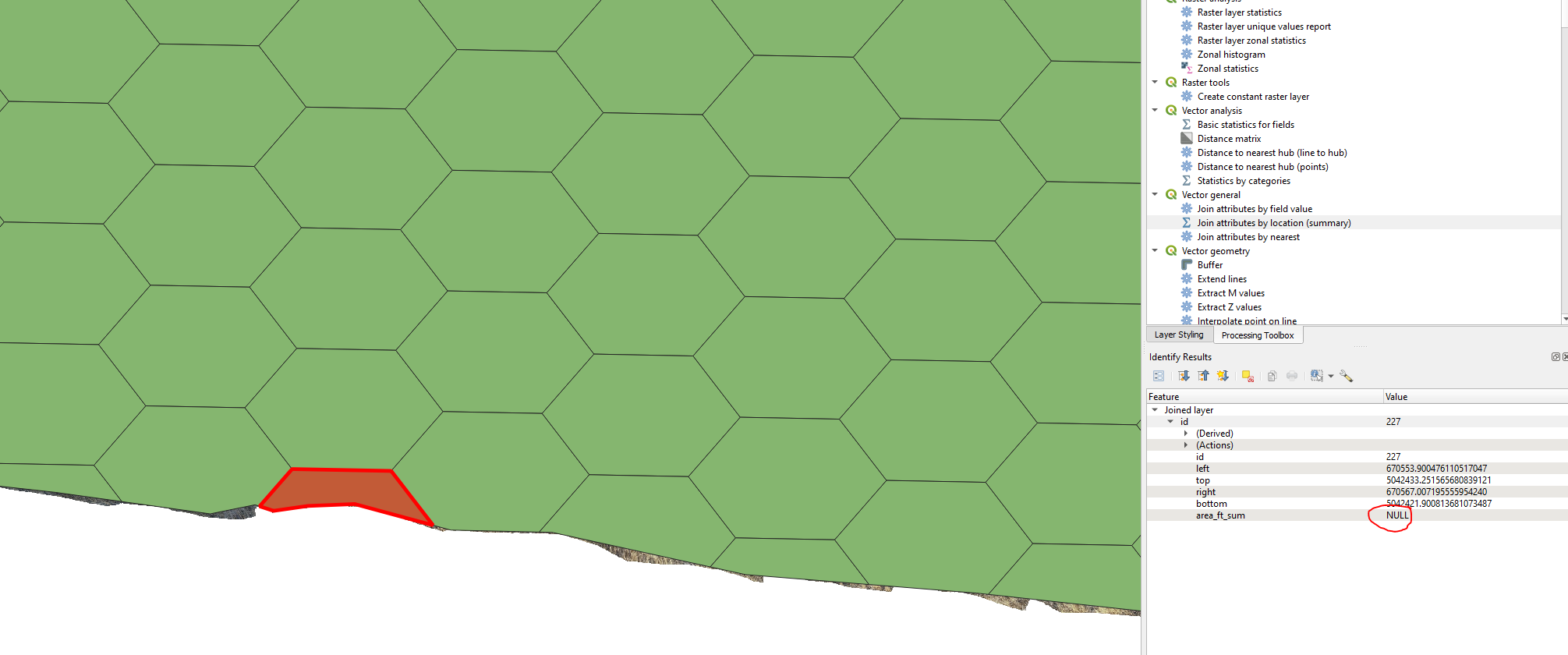
I created a 0.1 acre hexagonal grid and am trying to produce a heat map based on the respective polygon area that are found within a hexagon. I am using the Join Attribute by location (Summary) tool, but am having some problems with the output. Image 1 shows my hexagonal grid. Image 2 shows the inputs for the Join Attribute by location (Summary) tool. Image 3 shows the outputs. I am a little confused here because it is saying that it has skipped a couple features, but I made sure that there were no polygons outside on my hexagonal grid (I performed a clip earlier on). Image 4 shows the output. Image 5 shows the graduated symbol style that I picked and image 6 shows that output. You can see some of the hexagons are disappearing. I believe this is because that hexagon has no value for the summed area of the polygons (NULL). I guess I could manually go in and change all NULLS to zero?? Finally, image 7 and image 8 show a hexagon that does contain a polygon, but is not captured when running the Join Attribute by location (Summary) tool. Is there something that I am missing? Could this be one of the "missing features". What suggestions are there to fix that?

image 1 enter image description here

image 2 enter image description here

image 3

enter image description here

image 4 enter image description here

image 5 enter image description here

image 6 enter image description here

image 7 enter image description here

image 8 enter image description here

3
  • 3
    Have you ran "Fix geometries" tool on all inputs?
    – Bera
    Commented Oct 28, 2020 at 6:44
  • @BERA no I have not, I will give that a try.
    – Binx
    Commented Oct 29, 2020 at 14:34
  • It looks like that has worked. That hexagon that I showed in my question above is no longer NULL, but there are hexagons that are still NULL. I'll just run an if statement to make those zero.
    – Binx
    Commented Oct 29, 2020 at 14:59

1 Answer 1

1

The warning message said you have invalid geometry. These errors often become part of your data after running geoprocessing, digitizing, editing or data conversion.

You have to fix this before running other algorithms.

  • you can make this manually. So you have to detect/locate errors (Vector -> Geometry tools -> check validity) OR
  • you can try to make this automatically. In the processing toolbox (Ctrl+Alt+T), search the algorithm called "fix geometries". He will create a temporary layer. Control him and if all is correct save him.

Your Answer

By clicking “Post Your Answer”, you agree to our terms of service and acknowledge you have read our privacy policy.

Not the answer you're looking for? Browse other questions tagged or ask your own question.