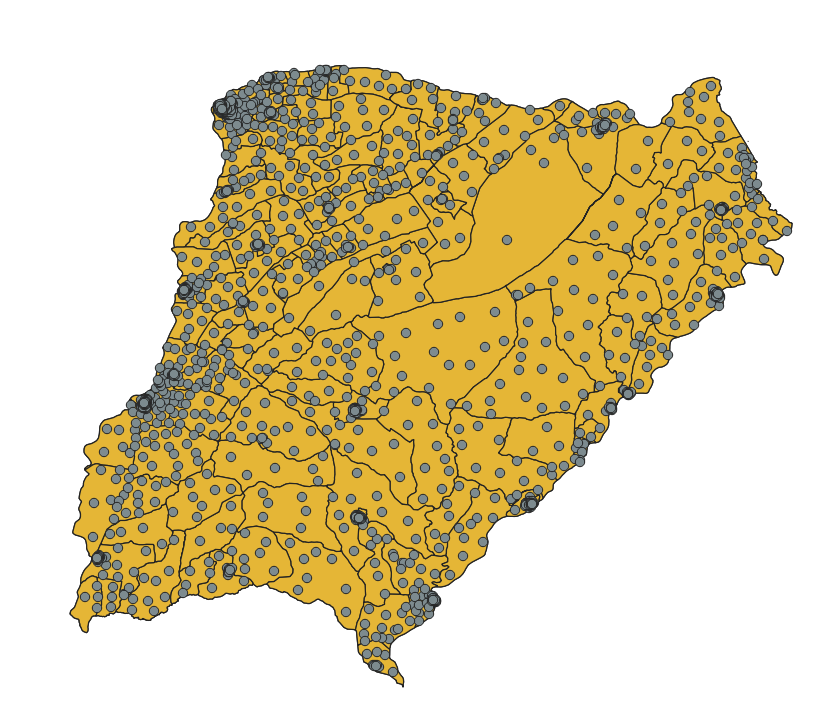
I have joined Argentina's census data wich has small area divisions, with electoral disctrict data wich has a bigger area than those of the census. In QGIS, I've calculated centroids for the census data and joined through the "join attribute by location (summary) tool".
Census data i aggregated to get the population in electoral disctrict, but i've found no way to caculate a census index which i would want to take to the electoral level by doin a weighted average:
(sum (index * total_pop)) / sum(total_pop)
The question sums as:
Is there a way to add a statistic function (a user edited one) to the spatial join of the census centroids to the electoral disctrict polygons?

