0

I'm working with raster datasets that all share the same raster cells. I have a polygon that clips out an area of interest from these datasets, but it isn't aligned with the raster cells.

Is there a simple way to snap this polygon to the raster cells using ArcMap?

To illustrate, I want this polygon line to snap to the raster cells (on all sides of the polygon):

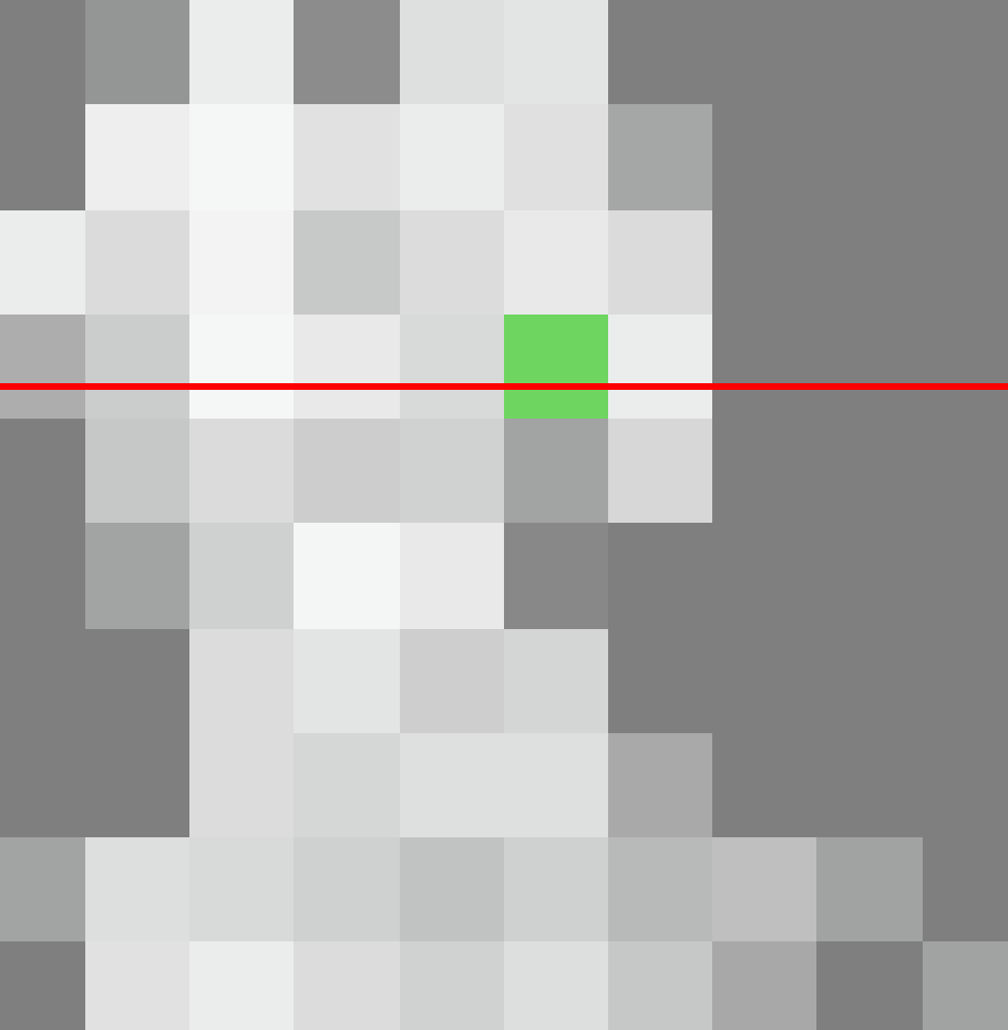
polygon line not aligned with raster cells

0

1 Answer 1

0

To snap the clip operation itself to the cell raster use Environment -> Processing Extent -> Snap Raster option, where you specify e.g. the raster that you're clipping.

To get a "snapped polygon", then use the snap-clipped raster and the tool Raster Domain (available with 3D analyst license) to produce a polygon. If you don't have this license, see other ways here.

It will look like this (being snapped to the centers of the outer raster cells - clipping operations w/o Snap Raster will work fine): enter image description here

Your Answer

By clicking “Post Your Answer”, you agree to our terms of service and acknowledge you have read our privacy policy.

Not the answer you're looking for? Browse other questions tagged or ask your own question.