1

I have a shapefile consisting of Ireland District Electoral Areas (DEA), in which there are over 3000 polygons. Secondly, I have a shapefile consisting of the Land Use classifications in Ireland.

A DEA in the first shapefile can contain many classifications from the second shapefile.

So far, I have followed the steps in Computing dominant area in polygon using ArcGIS Desktop? which have given me what I need.

However, I am wondering is there anyway I can delete the classification polygon outlines within the DEA as seen in the screenshot below? As I only need to show the DEAs with these classifications

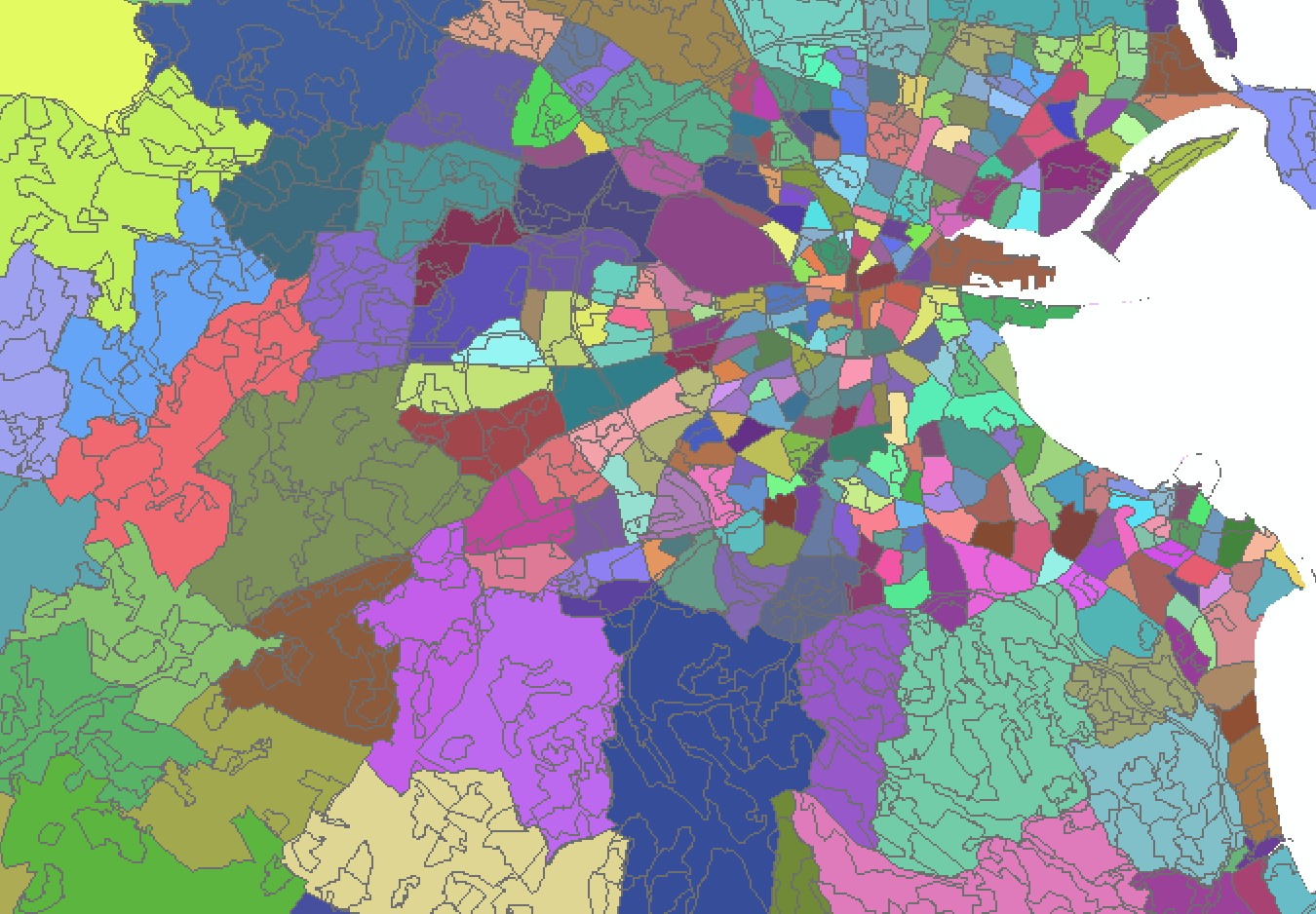
enter image description here

1 Answer 1

1

There are a few ways this can be accomplished. As is tagged in your question, one way is to dissolve the polygons based on a common attribute.

Set your dissolve field to the same field that is being used to symbolise your data. Note, this process will create a new dataset. You may also lose other fields in the process.

Another method would be to simply delete the smaller polygons. To do this, in an edit session, select the smaller internal polygons using select by attributes, and press the Delete key on your keyboard.

Your Answer

By clicking “Post Your Answer”, you agree to our terms of service and acknowledge you have read our privacy policy.

Not the answer you're looking for? Browse other questions tagged or ask your own question.