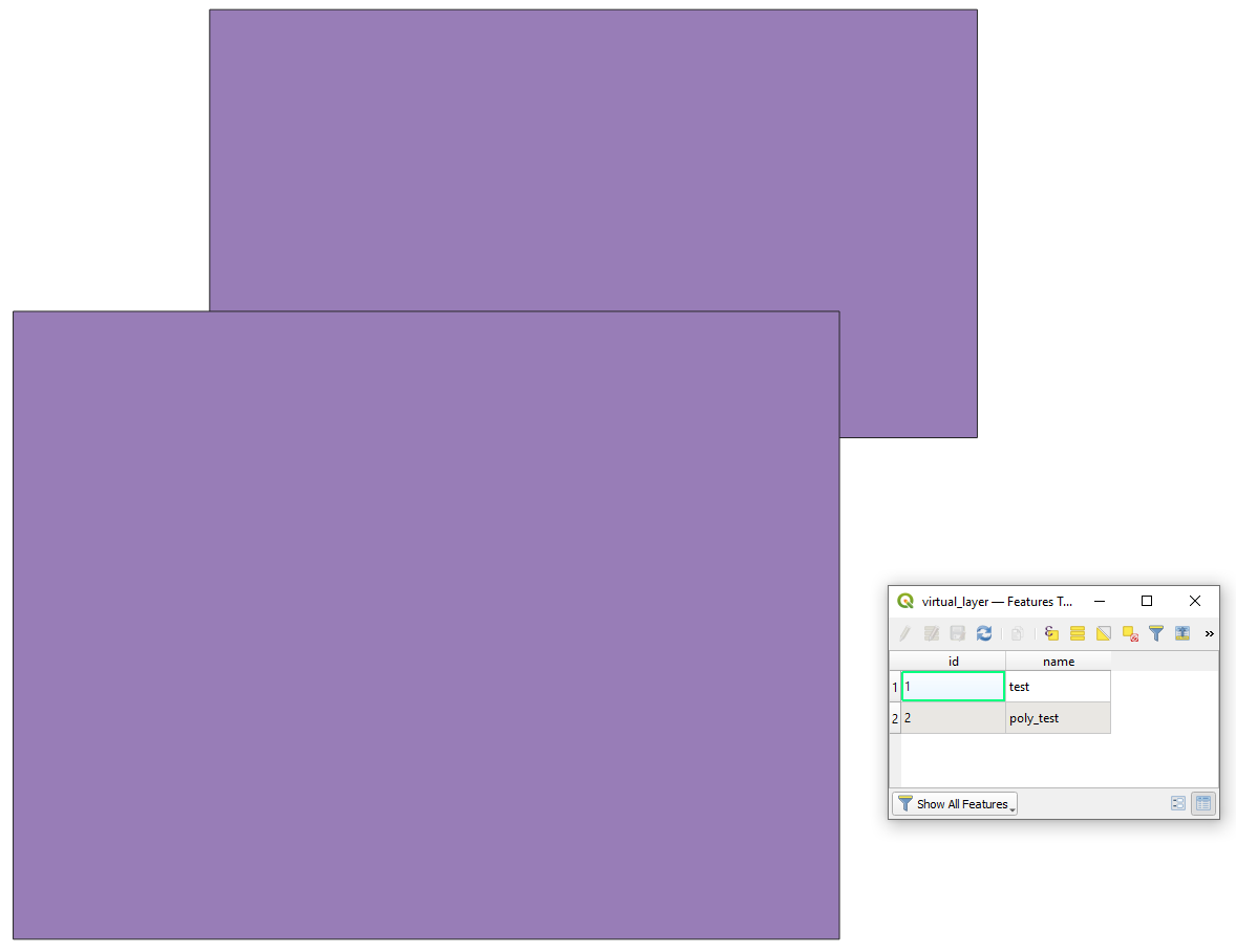
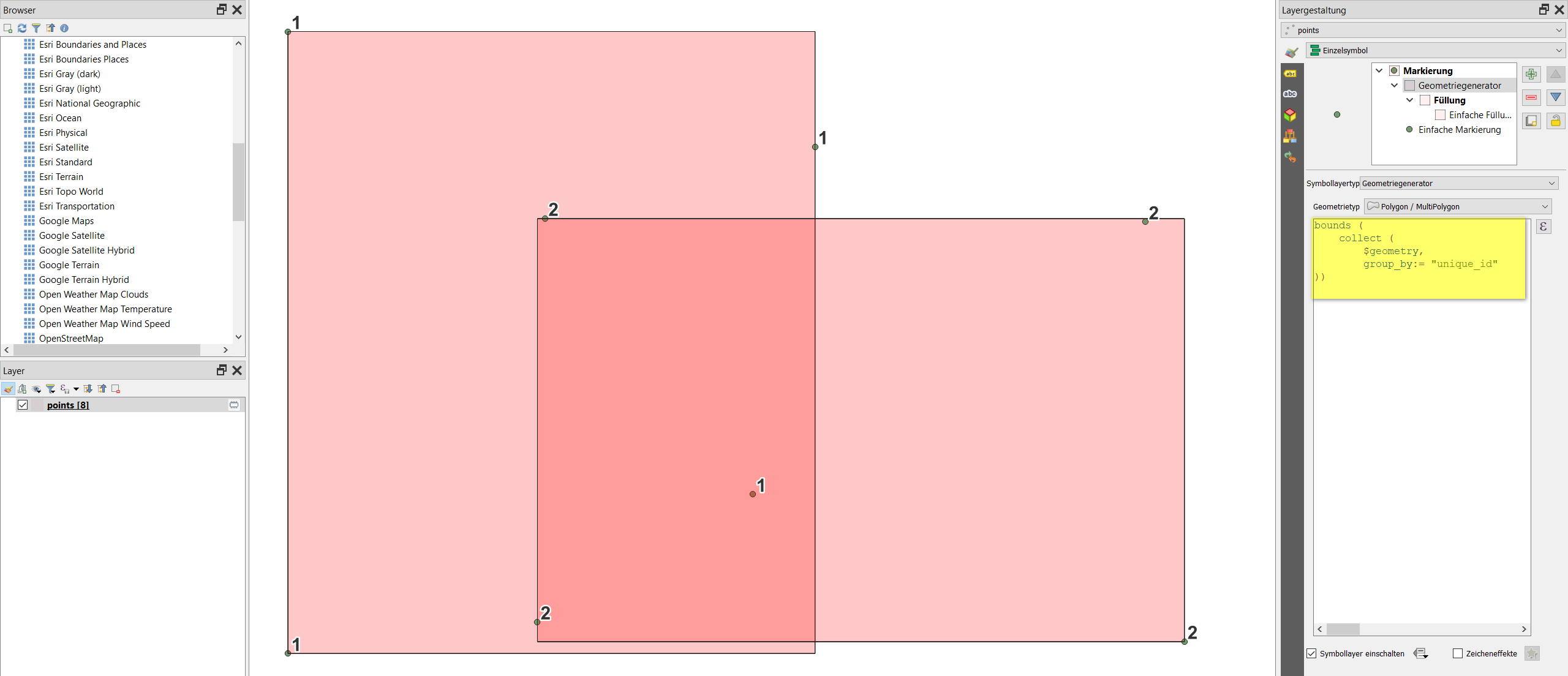
I have a CSV file with bbox extents in xmin, ymin, xmax, ymax format. I can import these as pairs of delimited text layers and see the diagonal extents of these boxes on my map document.
Can I take that one step further and turn them into boxes? Each xmin,ymin and xmax, ymax pair have a unique "ID" so they can be matched.


points to path, thenlines to polygons.