I created many vector grids, but later I discovered that I need to modify some of their extents, hence, How can I change vector grid's extents (xmin, xmax, ymin and ymax) in QGIS?
2 Answers
Simply enlarging the extent does not create additional grid lines, nor makes it the existing lines longer.
The vector grid is simply a bunch of lines or polygons. You are quicker to create a new grid than trying to extend the existing one.
-
Plugins like e.g. MMQGIS makes this a quickand painless task.– SAnderkaCommented Feb 5, 2014 at 10:19
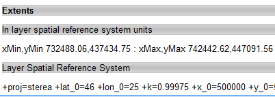
The layer extent is taken from the Layer Spatial Reference System. You can see it going to Layer properties > Metadata :

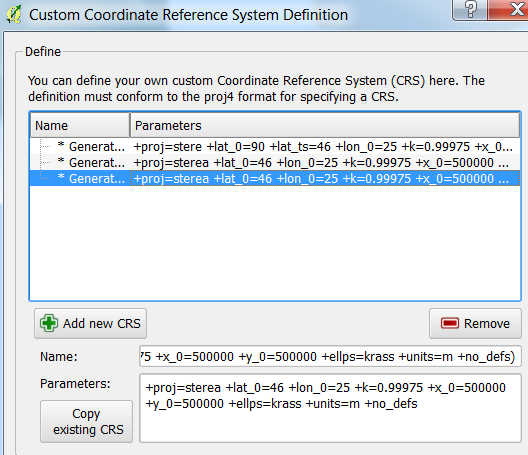
Therefore, to have a new extent you need to specify a custom CRS for your layer, using the Settings menu and then choosing Custom CRS :

As stated in the Custom Coordinate Reference System section, from the Working with projections chapter in the QGIS User Manual, defining a custom CRS in QGIS requires a good understanding of the Proj.4 projection library.
Eventually, you need to go to Layer properties > General to specify you custom CRS, and pressing Update extents :

