This is for a hobby project of producing a 3d map in the 3d modelling package Blender. I'm using QGIS to prepare Digital Elevation Model data (combining a handful of tiles and then clipping them) to prepare them for loading into Blender.
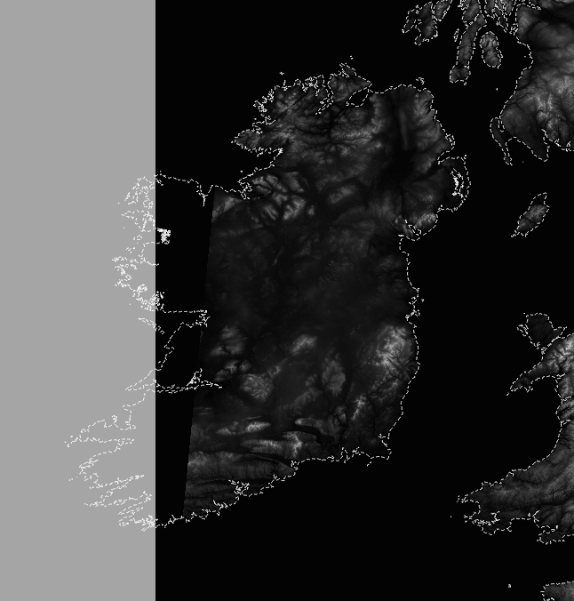
This broadly works fine but the issue I'm encountering is with finding an appropriate projection for the map. My first port of call was obviously OSGB (EPSG:27700). However, when I try to reproject my geotif using the warp (reproject) tool, the resulting file is clipped partway through the island of Ireland.
Note: The white dotted line is a vector layer of the coastline for comparison. Light grey is the QGIS background canvas. Black is the extent of the reprojected geotif.
The accuracy of this map is not too important, but I'm not a fan of the 'squashed' appearance of WGS84. Is there an alternative projection I could use that covers the UK and Ireland?

