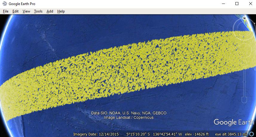
Google Earth Pro can easily support display a KML file with 32,000 points or larger.
Below is a display of a KML file with 100,000 random placemarks spanning a strip over the ocean.

The KML structure in image above is a series of simple placemarks.
<?xml version="1.0" encoding="UTF-8"?>
<kml xmlns="http://www.opengis.net/kml/2.2">
<Document>
<Placemark>
<name>P1</name>
<Point><coordinates>98.92,45.29</coordinates></Point>
</Placemark>
...
<Placemark>
<name>P100000</name>
<Point><coordinates>178.93,23.03</coordinates></Point>
</Placemark>
</Document>
</kml>
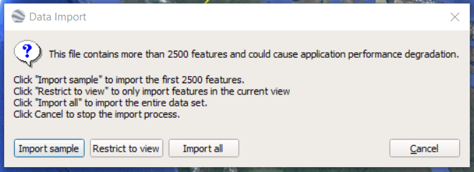
Recommend to create minimalized KML output using R or Python code, etc. to streamline the KML output rather than try to import a large CSV or shapefile directly to Google Earth Pro. The GE Pro import wizard will create KML with BalloonStyle, Schema, and ExtendedData elements which works well for small datasets but creates problems for large ones.
If number of points is very large and still causes performance issues or crashes Google Earth Pro, here are three options to further structure the KML to make it work.
Subset/group the points into multiple KML files splitting the data into whatever smaller groups make sense and view the data one KML file at time.
If data is temporal then add a <TimeStamp> or <TimeSpan> to each of the placemarks and add a <LookAt> element with a <gx:TimeSpan> to the KML with a small time slice to show only a portion of the data at startup.
If data is spread over a large geographic area then splitting the placemarks into Folders and adding a Region to the Folder can help auto-display a subset of the data at a time. Likewise, the subsets can be created as sub KML files and the Region added to the NetworkLink in the master KML file with links to the sub KML files.
For more details, here's a tutorial on Regions in KML
https://developers.google.com/kml/documentation/regions
For large data, you can customize your KML adding Styles, Schemas, ExtendedData, descriptions, etc. after it correctly loads in Google Earth.


