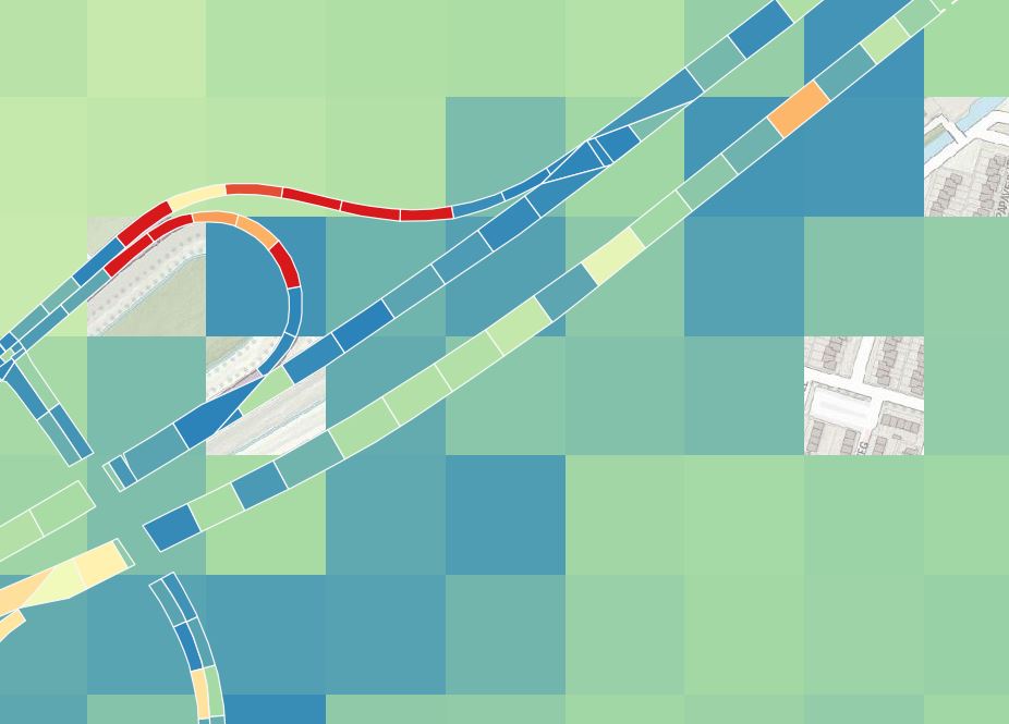
I have a raster layer with 100x100 pixel size that contains expected soil subsidence (calculated) and a polygon layer with smaller polygons that contains the measured data. I want to add the calculated data from my raster to each of the road segment polygons. As you can see in the image the polygons don't neatly fall into the raster pixels.
Ideally i would like the raster value that gets added to each polygon to be an average calculated over how much of the polygon area falls into each raster pixel.


gridyou in fact mean raster, right?