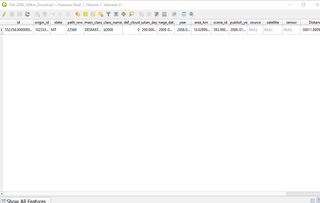
I'm trying to use QGIS to calculate the area of each grid cell that has been deforested.
To do so, I have tried the following:
Create Gridto create a 30km x 30km square grid- Add Deforestation Layer (over 100,000 small polygons - areas that have been Deforested)
ClipGrid to Deforestation extentDissolvethe Deforestation Layer to combine all of 100,000 Deforest polygonsIntersectDissolved_Deforestation with Grid
I expected this to give the Total Area Deforested within each Grid Cell, from which I could calculate the percentage of each cell deforested. Instead, for each Grid Cell in the Intersection Attribute Table, I see the same Area Deforested - 10.03.
Incidentally, this happens to be the same Area as for the only row remaining in the Dissolve Attribute Table (pic below) - a single polygon from the Deforestation shapefile. So the Intersection Table has assigned the area of a single deforestation polygon to every grid cell (even though it only falls inside a single cell), rather than calculating the total area of all polygons within that grid cell.
I'm new to QGIS and I'm not too sure where my mistake lies. Could anyone please advise?

