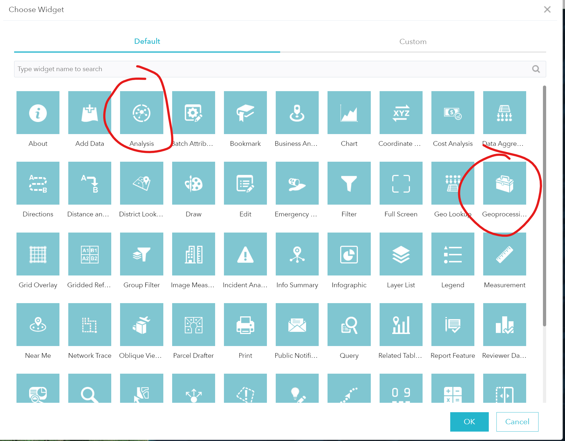
As far as I know, there is no out of the box widget that enables export of data from a Web App in ArcGIS Portal (Custom ones are available but you will need to customize obviously)
The only capability that is available which would achieve this, is inside of a Web Map.
ie: Your users would need to use Web Map Classic. Extract Data.
Another option is to direct users to the Content page of the item, where there is an Export Data dropdown, which can be export shapefiles. (However this will not be the selection of data, it will be the whole set). They can navigate to the Content item from the Layer list inside of the web app.
From a holistic design approach however, its worthwhile asking the question of "Why do my users need to download a dataset, or subset of data, which is available via a service?"
It may be more useful to consider deploying .lyr files to ArcGIS Desktop users which point to the feature service - which then would allow the desktop users to filter the data at their end.
The enablement of end users to create localized copies of datasets generally defeats the underlying principle of having a centralized GIS and will lead to information management issues in the future. (ie: Network drives containing outdated shapefiles, people working off C: drive on old data etcetc) Do as much as you can to enable users capability, without enabling localized dataset creation.

