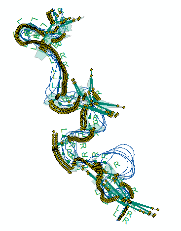
I am working on my thesis and the problem I faced in ArcMap.
I am working with DSAS all the information such as Baseline and Shoreline data input correctly and there is no error. The shorelines do not have any vertex which is outside the line features for examples all are in straight or in curve. But when calculating the Change statistics in result it provide Transect points moved further from the actual line features vertices. And as a result When beta forecasting the result is on the transect points so in future prediction the result line seems not normal in some part where the point moved further from the line. The attested Image as for example the result what happened, I do not understand why is this happening and how can I solved it.

