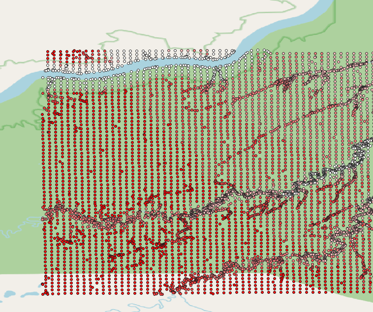
I'm working with QGIS 3.12, trying to create a basemap of a mine site in Alberta for an env sci related project. I downloaded the 20k ASCII DEM from Altalis and imported the .gnp layer; which is a collection of vector points with XYZ values and a FID.
The northings are all correct the eastings all put the point layer in Saskatchewan. The coordinates of the center of my map are going to be 445834 E 5698420.N, UTM 12N, but the eastings in the layer which I downloaded all start in the 70s. That said, the features all appear to line up with what I'm seeing on google earth, its just that their coordinates claim that these features are in Saskatchewan instead of Alberta. An example point from the .gnp below
FID 1098 X 708435.396 Y 5707399.9185 Z 904.11487


gdaldemon the command line?