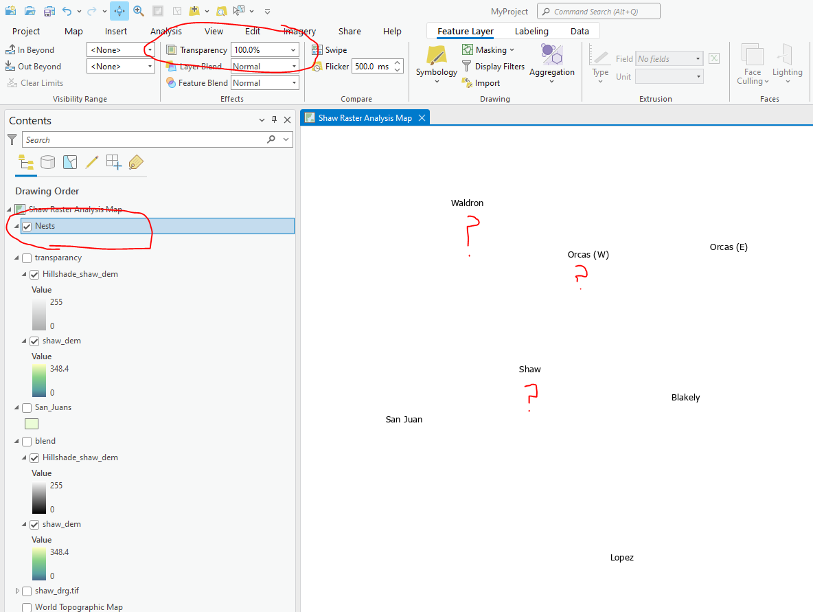
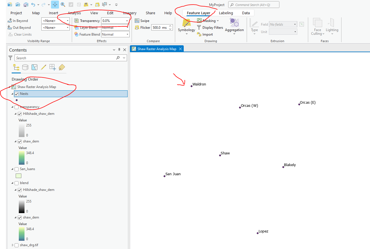
Using ArcGIS Pro with an imported data file of state plane UTMS. The file imports nicely, but I can not get symbols to display. I have applied simple black circle symbols, but they do not display. If I select a point in the attribute table, the selection will show on the map. If a apply labels, they are displayed correctly. If I change the symbol size, the symbols still do not display, but the labels will shift to account for the change in the symbol size.
1 Answer
It sounds like you have transparency set to 100% for that layer. Select the layer in the contents pane. Select the Feature Layer tab. Set Transparency to 0%.


