3

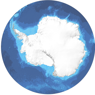
I've used gdal2tiles for generating tiles in number of different polar projections and always experienced the same problem — strange small picture inside normal 256x256 png with the rest of space transparent. I'm using -p raster option.

That's how one particular tile looks like http://grab.by/uNHw

And here is the whole map view.
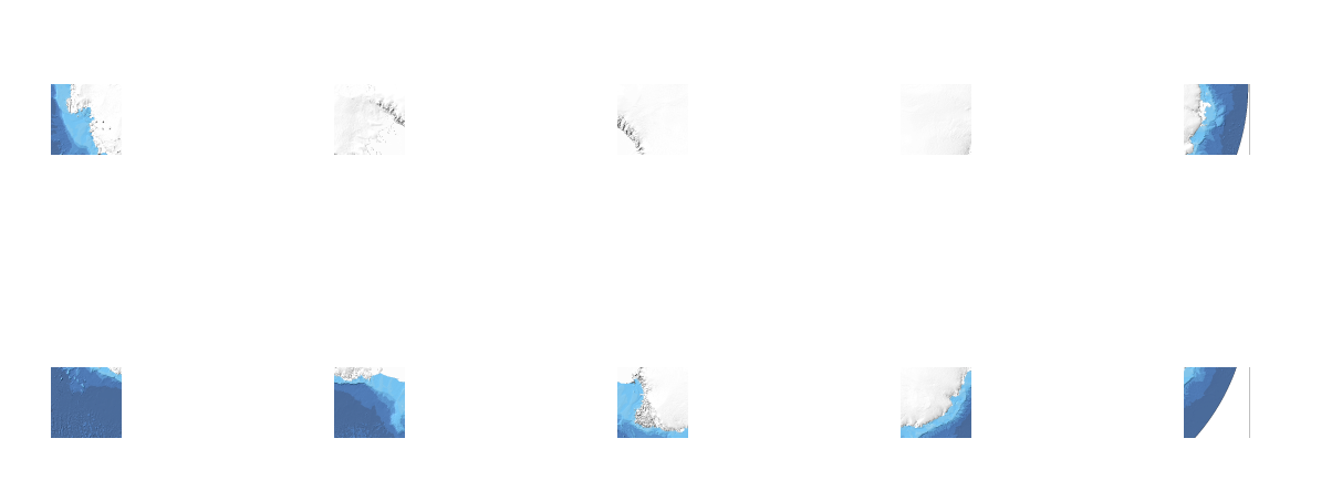
how whole map with such tile looks like

Looking for suggestions. Gladly will switch to other utility/program that can generate tiles properly in non-mercator projections.

Source geotiff I use are arctic and antarctic maps:

Sample command I use: gdal2tiles.py -z 3 -p raster ibcso_background_hq.tif

3
  • 1
    Can you make a simple example, or at least give more details on the kind/s of source image and the actual commands used? Are you transforming somehow from the source because afaik that is not going to work in a single step
    – mdsumner
    Commented Mar 3, 2014 at 12:12
  • @mdsumner yes, sure, added two links to geotiff sources, and wrote sample command i use
    – dobrych
    Commented Mar 5, 2014 at 13:07
  • This works if I do this, with no -z argument: python gdal2tiles.py -p raster ibcso_background_hq. tif ibcsoraster I can maybe have a closer look later, but it might be something to do with how the levels interact, but otherwise def a bug in the script.
    – mdsumner
    Commented Mar 6, 2014 at 3:16

1 Answer 1

6

I'm not sure why, but gdal2tiles does not seem to like a combination of -z and -p raster.

So I used call gdal2tiles.bat -p raster ibcso_background_hq.tif

and got the right picture in all zoom levels:

enter image description here

1
  • WOW, I would not have thought of this as the source of the problem. Can't even tell you how many hours I spent troubleshooting the issue!
    – abettermap
    Commented Mar 6, 2017 at 16:31

Your Answer

By clicking “Post Your Answer”, you agree to our terms of service and acknowledge you have read our privacy policy.

Not the answer you're looking for? Browse other questions tagged or ask your own question.