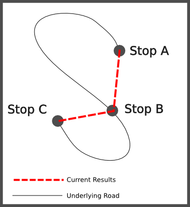
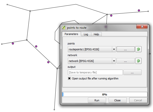
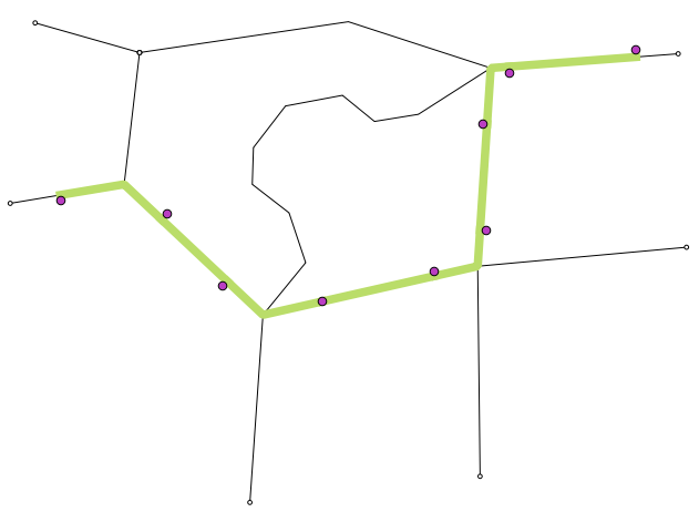
I have a set of points (~2300 bus stops) and I have a network of roads that these bus stops lie on. When I have a bus route that goes from A to B, how do I generate the route such that it follows the underlying road and not just the direct crowfly distance.

The road data is from OSM and the stop data is user generated. At present the data is hosted on :routemaster.hydlab.in


