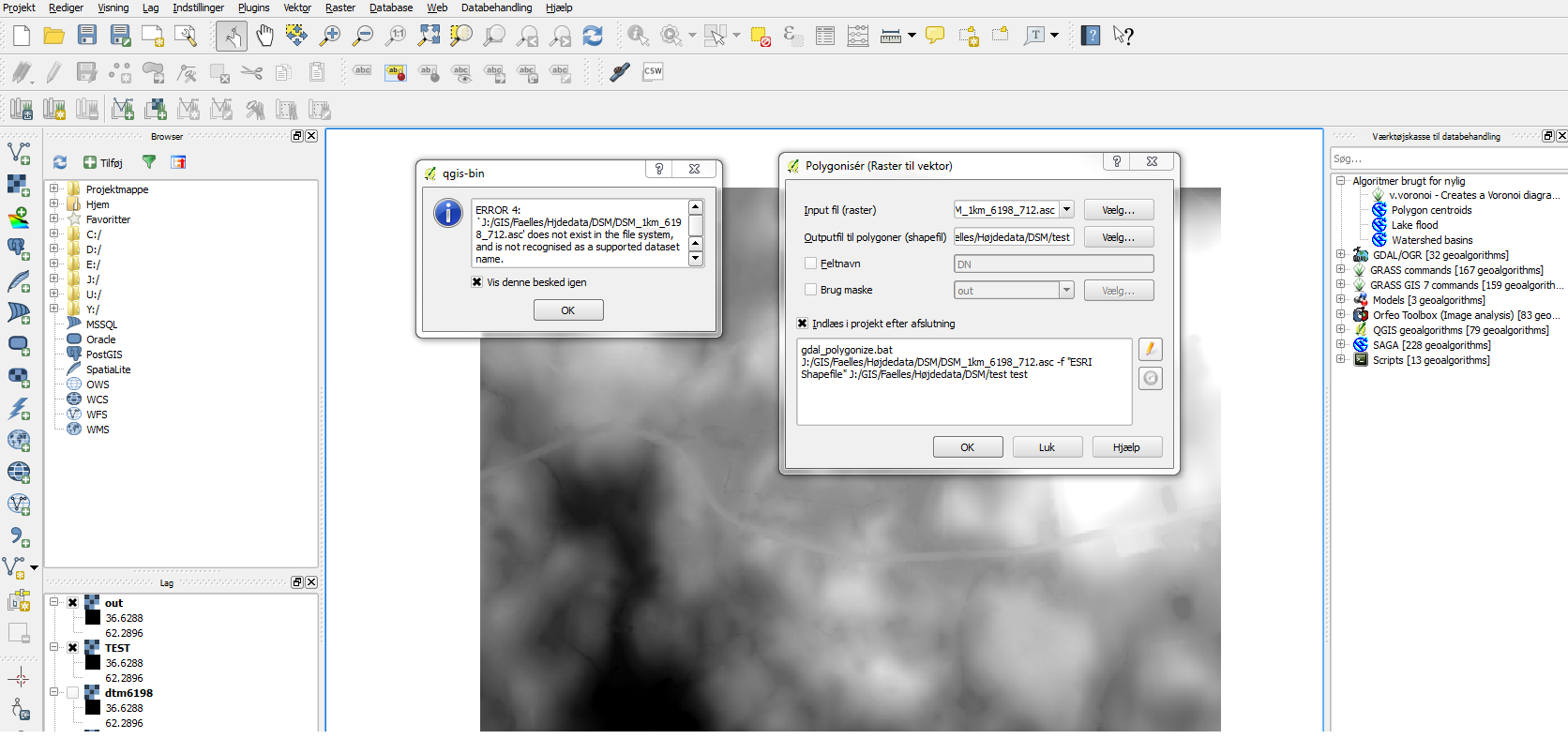
When I try to convert a raster DEM (in .asc or geotiff format) to polygons I get the error below:
ERROR 4: `Y:/GIS/oversvmmelser/tmp/out.tif' does not exist in the file system, and is not recognised as a supported dataset name.
Any idea what the problem is?


oversvmmelser. Actually there is another path in the screen capture. It looks like QGIS eats the scandinavian characters. Use ASCII paths instead.