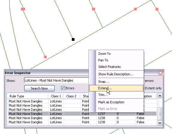
I am working on mapping trails and reroutes of those trails in West Virginia. I'm going out with a GPS and walking everything and then coming back to the office to project everything on a map(s). The only problem I am having is that some of my trails and reroutes are not connecting at their intersections.
Is there a way to fix this in ArcMap or ArcCatalog so that I don't have to keep driving to the trails and rewalk them (i.e. is there like a spray paint or pencil option).
I've been trying to play around with it for a few days, and it's been a few years since I have had any formal training, but no luck so far.

